Lampugnano, Milan

Map
Facts and practical information
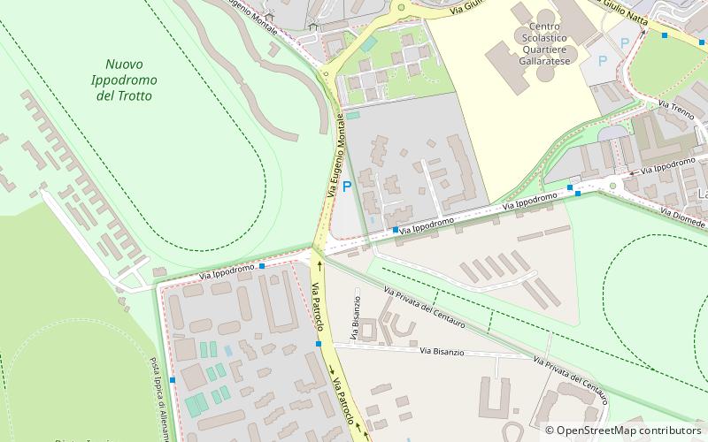
Lampugnano is a district of Milan, Italy, part of the Zone 8 administrative division of the city. Until 1841, it was an autonomous comune. A prominent structure of Lampugnano is PalaSharp, which used to be one of Milan's major indoor arenas, housing sporting events, concerts, live shows and political meetings. The nearby Milan Metro subway is also adjacent to a bus terminal and a major parking, and is thus a reference place for many commuters who travel daily to the city from the western part of the Metropolitan City of Milan. ()
Address
Zona 8 (Gallaratese)Milan
ContactAdd
Social media
Add
Day trips
Lampugnano – popular in the area (distance from the attraction)
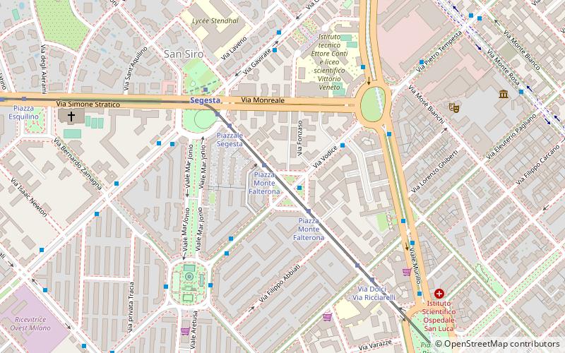
Nearby attractions include: San Siro, Monte Stella, Leonardo's horse, Certosa di Garegnano.
Frequently Asked Questions (FAQ)
Which popular attractions are close to Lampugnano?
Nearby attractions include San Siro, Milan (16 min walk), Leonardo's horse, Milan (16 min walk), Monte Stella, Milan (22 min walk), Gallaratese, Milan (24 min walk).
How to get to Lampugnano by public transport?
The nearest stations to Lampugnano:
Bus
Metro
Tram
Bus
- Via Ippodromo - Via Patroclo • Lines: 78 (2 min walk)
- Via Patroclo - Via Bisanzio • Lines: 78 (4 min walk)
Metro
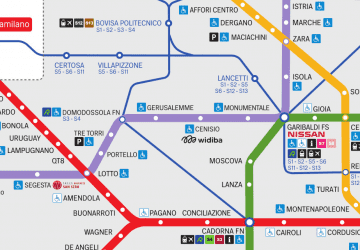
- Lampugnano • Lines: M1 (13 min walk)
- Uruguay • Lines: M1 (16 min walk)
Tram
- Piazza Axum • Lines: 16 (18 min walk)
- San Siro Ippodromo M5 • Lines: 16 (21 min walk)
 Metro
Metro


