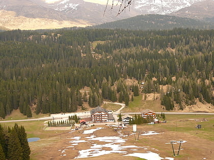
Kreuzberg Pass
Map

Map

Facts and practical information
The Kreuzbergpass is a high mountain pass between the provinces of South Tyrol and Belluno in Italy. It connects the Puster Valley with Cadore. ()
Local name: Passo di Monte Croce di Comelico Maximum elevation: 5367 ftCoordinates: 46°39'21"N, 12°25'11"E
Location
Trentino-South Tyrol
ContactAdd
Social media
Add
Day trips
Kreuzberg Pass – popular in the area (distance from the attraction)
Nearby attractions include: Tre Cime di Lavaredo, Helm Mountain, Cima Undici, Monte Cavallino.


