Saint-Oyen, Étroubles
#1 among attractions in Étroubles

Facts and practical information
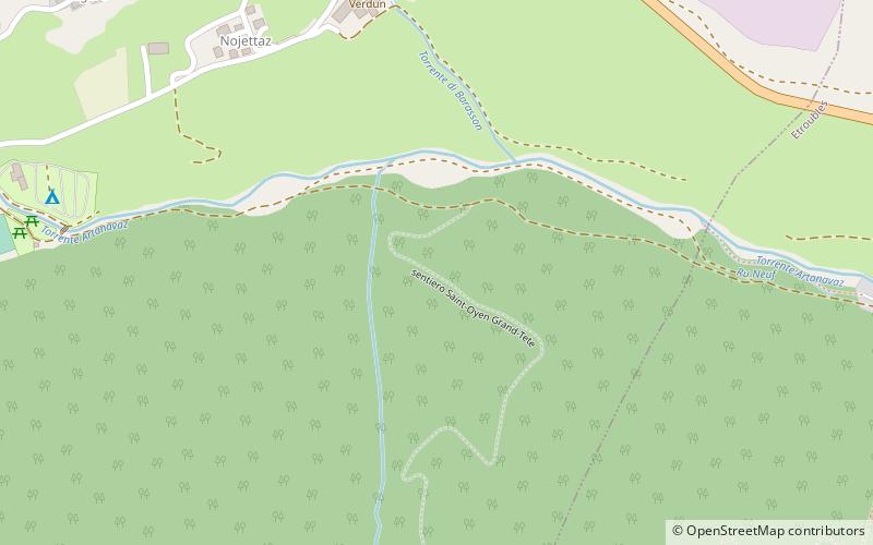
Saint-Oyen is a village and comune in the Aosta Valley region of north-western Italy. ()
Saint-Oyen – popular in the area (distance from the attraction)
Nearby attractions include: Collegiate church of Saint Ursus, Arch of Augustus, Great St Bernard Lake, Mont Vélan.
 Sacred and religious sites, Church
Collegiate church of Saint Ursus, Aosta
195 min walk • The Collegiate church of Saint Ursus is a collegiate church in Aosta, northern Italy, dedicated to Saint Ursus of Aosta. The original church had a single hall, delimited by a semicircular apse.
 Historical place, Arch
Arch of Augustus, Aosta
198 min walk • The Arch of Augustus is a monument in the city of Aosta, northern Italy. It was erected in 25 BC on the occasion of the Roman victory over the Salassi and was the work of Aulus Terentius Varro Murena.
 Nature, Natural attraction, Lake
Great St Bernard Lake
105 min walk • Great St Bernard Lake is a mountain lake of the Pennine Alps, located south-west of Great St Bernard Pass. It is divided between Switzerland and Italy, although it lies south of the Alps, within the Dora Baltea basin.
 Nature, Natural attraction, Mountain
Mont Vélan
134 min walk • Mont Vélan is a mountain of the Pennine Alps, located on the border between Switzerland and Italy. At 3,727, metres Mont Vélan is the highest summit lying between the Great St Bernard Pass and Grand Combin. Two large glaciers cover its northern flanks: Glacier de Tseudet and Glacier de Valsoray.
 Nature, Natural attraction, Mountain
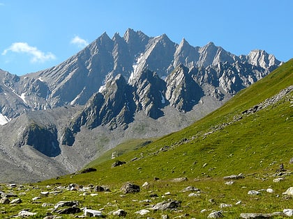
Grand Golliat
158 min walk • The Grand Golliat is a mountain of the Pennine Alps, located between the Petit Col Ferret and the Great St. Bernard Pass. At 3,238 metres above sea level, its summit straddles the border between Switzerland and Italy, separating the Swiss canton of Valais from the Italian region of Aosta Valley.
 Bridge
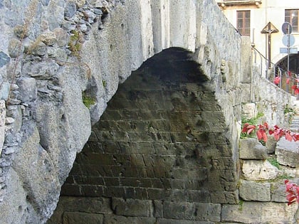
Pont de Pierre, Aosta
199 min walk • The Pont de Pierre, meaning "Stone Bridge", is a Roman bridge in the Italian city of Aosta in the Aosta Valley. The bridge crossed the Buthier about 600 m from the eastern exit of the Roman colony Augusta Praetoria; in later times the torrente changed its course, leaving the ancient bridge today without water.
 Nature, Natural attraction, Valley
Valpelline Valley, Valpelline
141 min walk • Valpelline is one of the side valleys of the Aosta Valley in north-west Italy. It shares its name with one of the communes within its territory. The stream running through the Valpelline is the River Buthier.
 Nature, Natural attraction, Mountain
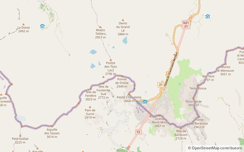
Pointe de Drône
127 min walk • The Pointe de Drône is a mountain of the Pennine Alps, located on the border between Italy and Switzerland. It lies west of the Great St. Bernard Pass.
 Bridge
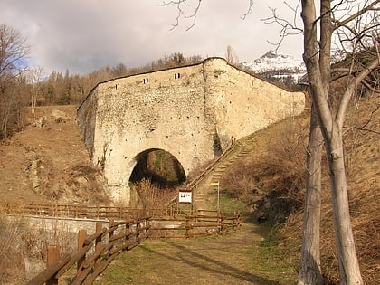
Bridge of Grand Arvou, Aosta
175 min walk • The Bridge of Gran Arvou is an aqueduct-bridge in the frazione Porossan of Aosta, north-western Italy. It span the Rû Prévôt irrigation canal, and includes a large corridor covered by flagstones. Another aqueduct-bridge, the Petit Arvou, is located a few meters downstream.
 Forts and castles
Casaforte di Rhins, Roisan
122 min walk • The stronghold of Rhins, sometimes also called the castle of Rhins, is a medieval stronghold located in the town of the same name in the municipality of Roisan, Aosta Valley.
 Forts and castles
Tour du bailliage, Aosta
191 min walk • The tower of the bailiffs--in French, Tour du bailliage--actually one of Aosta's towers with an adjoining safe house, is one of Aosta's medieval architectures. It is located on Guido Rey Street, at the northeast corner of the city's Roman wall.
