Grand Golliat
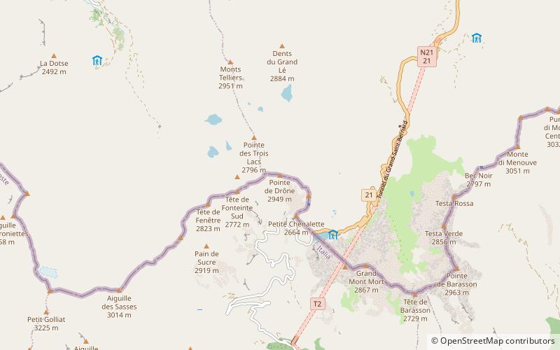
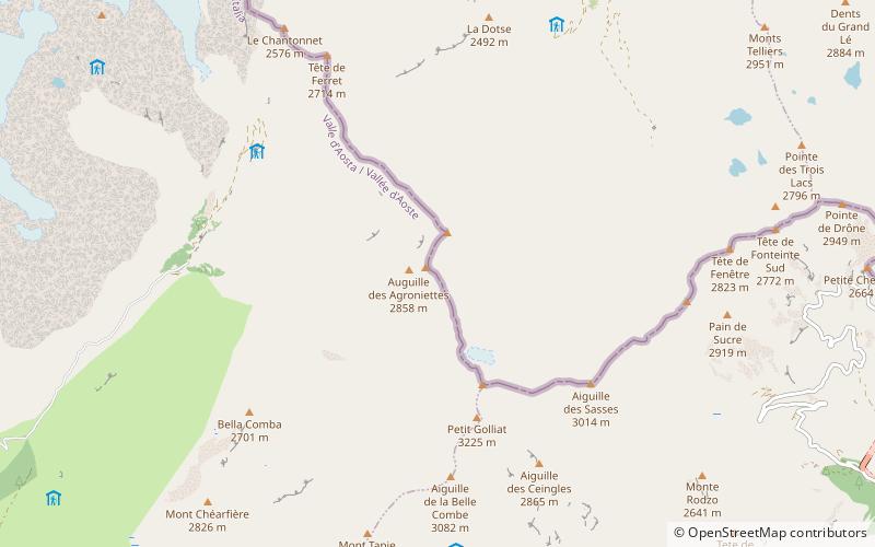
Map
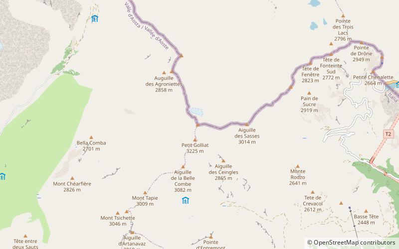
Map

Facts and practical information
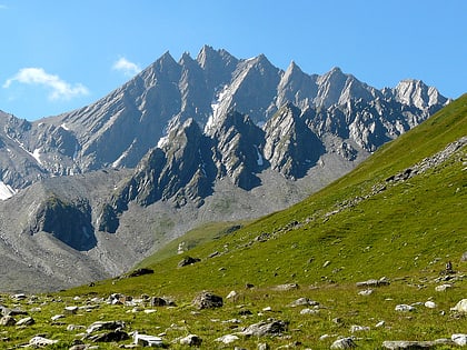
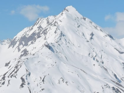
The Grand Golliat is a mountain of the Pennine Alps, located between the Petit Col Ferret and the Great St. Bernard Pass. At 3,238 metres above sea level, its summit straddles the border between Switzerland and Italy, separating the Swiss canton of Valais from the Italian region of Aosta Valley. The name Golliat comes from "gouilles" or small lakes located on the Italian side of the mountain. ()
Location
Aosta Valley
ContactAdd
Social media
Add
Day trips
Grand Golliat – popular in the area (distance from the attraction)
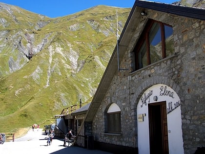
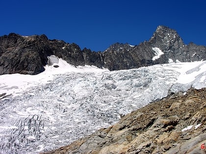
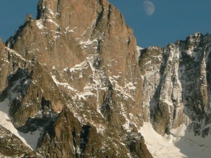
Nearby attractions include: Refuge Elena, Great St Bernard Lake, Aiguille de Triolet, Aiguille de Leschaux.
