Rocca Strozzi, Campi Bisenzio
Map

Map

Facts and practical information
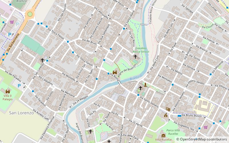
Rocca Strozzi is a castle built in the 14th century in the town of Campi Bisenzio. It stands on the right bank of the Bisenzio River, near the bridge connecting the historic center with the western districts. It is a brick construction with a quadrangular base and a corner keep.
Coordinates: 43°49'23"N, 11°8'3"E
Day trips
Rocca Strozzi – popular in the area (distance from the attraction)
Nearby attractions include: San Giovanni Battista, Prioria parrocchiale di Santa Maria, Pieve parrocchiale di Santo Stefano, Teatrodante Carlo Monni.
Frequently Asked Questions (FAQ)
Which popular attractions are close to Rocca Strozzi?
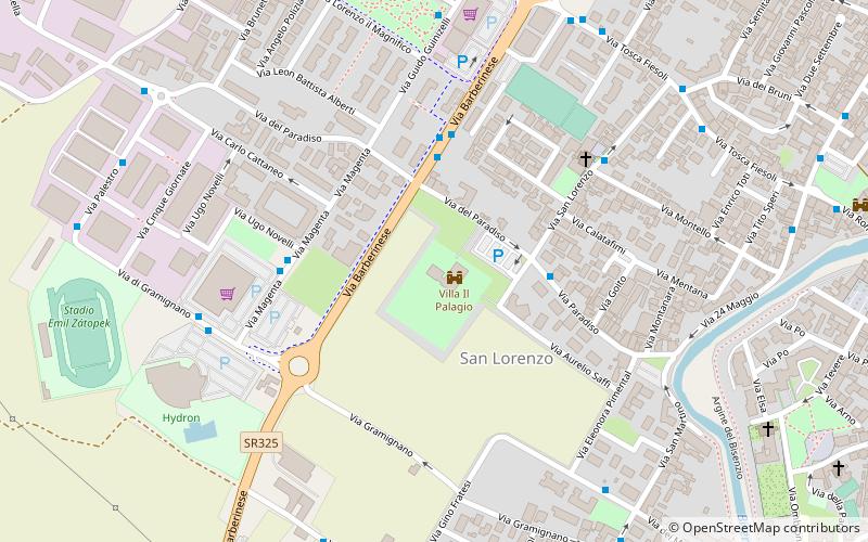
Nearby attractions include Prioria parrocchiale di Santa Maria, Campi Bisenzio (3 min walk), Pieve parrocchiale di Santo Stefano, Campi Bisenzio (3 min walk), Teatrodante Carlo Monni, Campi Bisenzio (7 min walk), Villa Il Palagio, Campi Bisenzio (11 min walk).
How to get to Rocca Strozzi by public transport?
The nearest stations to Rocca Strozzi:
Bus
Bus
- Ponte sul Bisenzio • Lines: 303, 75 (1 min walk)
- Piazza Gramsci • Lines: 30 A, 30 Am, 30 B, 30 F, 303, 303 M, 303 Ms, 303 S, 75 Bs, 75 Cs, 86, 86 As, 86 C (2 min walk)


