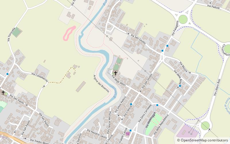
Chiesa parrocchiale di San Cresci, Campi Bisenzio
Map

Map

Facts and practical information
The church of San Cresci is the parish church of the hamlet of San Cresci in the municipality of Campi Bisenzio, although part of its church territory is included in the municipality of Signa.
Coordinates: 43°48'28"N, 11°8'4"E
Day trips
Chiesa parrocchiale di San Cresci – popular in the area (distance from the attraction)
Nearby attractions include: Sant'Andrea a San Donnino, Prioria parrocchiale di Santa Maria, Pieve parrocchiale di Santo Stefano, Teatrodante Carlo Monni.
Frequently Asked Questions (FAQ)
How to get to Chiesa parrocchiale di San Cresci by public transport?
The nearest stations to Chiesa parrocchiale di San Cresci:
Bus
Bus
- Crescia 04 • Lines: 303, 303 M, 303 Ms, 86 As (4 min walk)
- PT San Piero • Lines: 303, 303 M, 303 Ms, 303 S, 86 (6 min walk)


