Vigentino, Milan
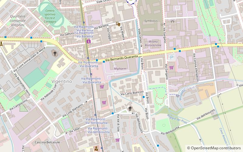
Map
Facts and practical information
Vigentino is a district of Milan, Italy, part of the Zone 5 administrative division, located south of the city centre. Before 1923, Vigentino was an autonomous, rural comune. By the mid 20th century, agricultural activities were dismissed, and the area was largely urbanized, with the construction of large apartment blocks. ()
Address
Zona 5 (Ripamonti)Milan
ContactAdd
Social media
Add
Day trips
Vigentino – popular in the area (distance from the attraction)
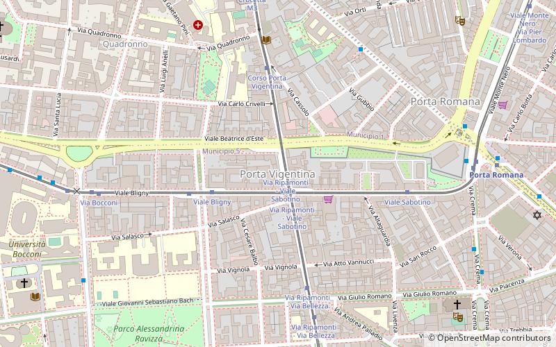
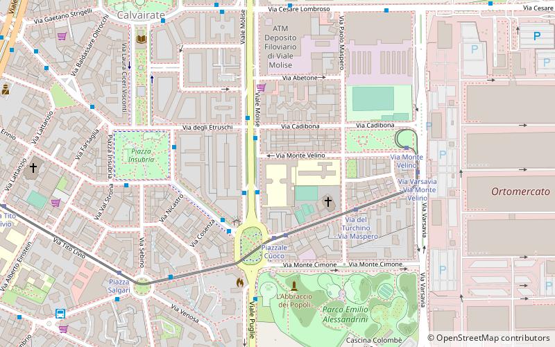
Nearby attractions include: Santa Maria Annunciata in Chiesa Rossa, Porta Vigentina, Parco Emilio Alessandrini, Bocconi.
Frequently Asked Questions (FAQ)
Which popular attractions are close to Vigentino?
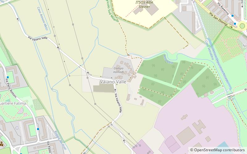
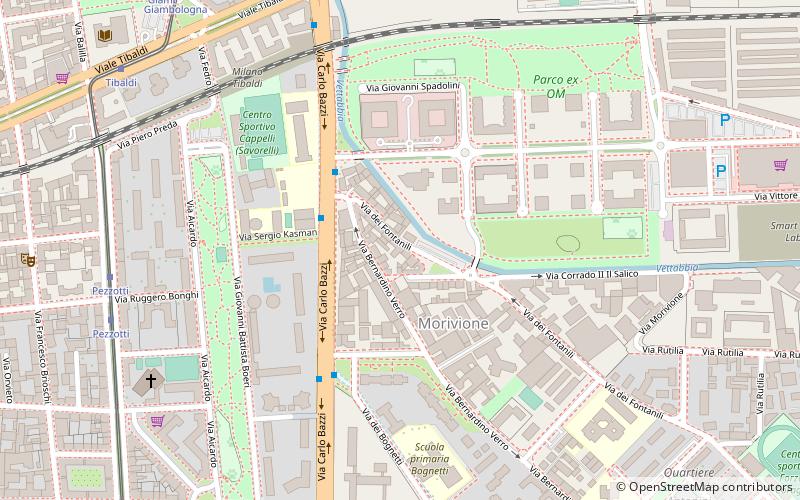
Nearby attractions include Fondazione Prada, Milan (16 min walk), Vaiano Valle, Milan (20 min walk), Morivione, Milan (21 min walk).
How to get to Vigentino by public transport?
The nearest stations to Vigentino:
Bus
Tram
Trolleybus
Metro
Train
Bus
- Via Quaranta • Lines: 34/, 99 (2 min walk)
- Via Broni - Via Bianconi • Lines: 34/, 99 (3 min walk)
Tram
- Via Ripamonti - Via Quaranta • Lines: 24 (3 min walk)
Trolleybus
- Piazza Trento • Lines: 90, 91 (21 min walk)
- Viale Isonzo - Via Ripamonti • Lines: 90 (21 min walk)
Metro
- Lodi T.I.B.B. • Lines: M3 (23 min walk)
- Brenta • Lines: M3 (24 min walk)
Train
- Milano Porta Romana (24 min walk)
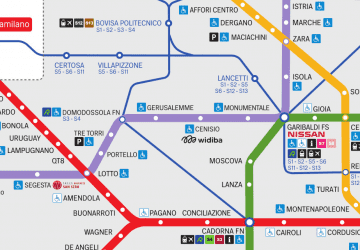 Metro
Metro
