Cisa Pass
Map

Map

Facts and practical information
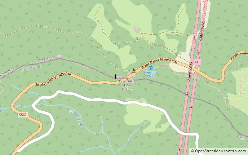
The Cisa Pass or La Cisa Pass is a mountain pass in Italy that marks the division between the Ligurian and Tuscan Apennines. It is located on the border between northern Tuscany and Emilia-Romagna, near the source of the Magra River at an altitude of 1,040 meters above sea level. ()
Location
Tuscany
ContactAdd
Social media
Add
Day trips
Cisa Pass – popular in the area (distance from the attraction)
Nearby attractions include: Santo Lake, Monte Marmagna, Rifugio Mariotti, Castello di Berceto.


