Torre di Porto Conte
Map

Map

Facts and practical information
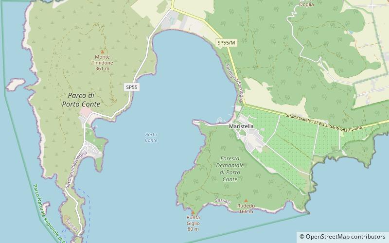
The tower of Porto Conte is a coastal tower belonging to the complex of fortified structures that from the early Middle Ages until the mid-nineteenth century constituted the defense, sighting and communication system of the coast of Sardinia. The fort, located about thirty meters from the sea, overlooks the bay of the same name, a short distance from the hamlet of Maristella, next to the lighthouse of Porto Conte. Administratively it is part of the municipality of Alghero, from which it is about ten kilometers away.
Coordinates: 40°35'37"N, 8°12'16"E
Location
Via porto conteSardinia
ContactAdd
Social media
Add
Day trips
Torre di Porto Conte – popular in the area (distance from the attraction)
Nearby attractions include: Neptune's Grotto, Nereo Cave, Capo Caccia Lighthouse, Cala Dragunara.


