Monte Altissimo
#879 among destinations in Italy
![Monte Altissimo location map](https://tzmedia.b-cdn.net/media/images/static-maps/it/45_9202_10_1756.jpg)
Facts and practical information
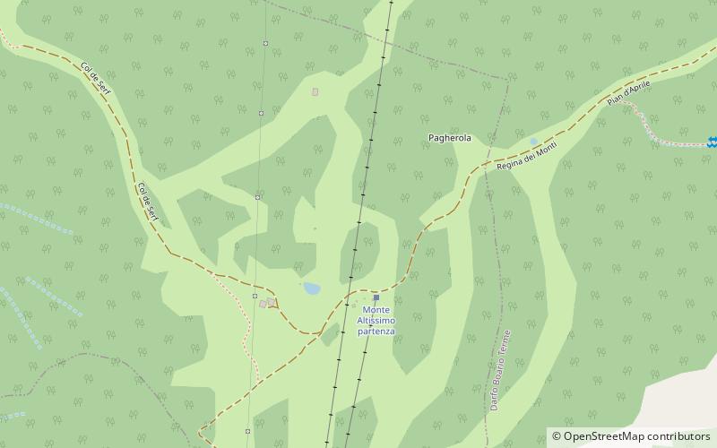
Monte Altissimo is a mountain in the Bergamasque Prealps, with a height of 1,703 metres. ()
LombardyItaly
Monte Altissimo plan & book
Unleash the traveler in you — discover the cheapest flight deals, find the perfect hotel or hostel nearby, and search for the best car rental prices. Travel at your own pace to discover new places and enjoy your journey.
Monte Altissimo – popular in the area (distance from the attraction)
Nearby attractions include: Club Alpino Italiano - Sezione di Borno, Sanctuary of Minerva, Museo nazionale della Valcamonica, Lago Moro.
2.3 miNE 5.4 miEMuseum, Archaeological museumSanctuary of Minerva, Cividate Camuno
139 min walk • The Sanctuary of Minerva is a temple of the Roman era, situated at Breno, in locality Spinera. It rises to a rocky outcrop on the banks of the river Oglio, faced with a natural cave within which flowed a spring.
4.7 miEMuseum, Archaeological museumMuseo nazionale della Valcamonica, Cividate Camuno
121 min walk • The Museo nazionale della Valcamonica is an archaeological museum located in the town of Cividate Camuno, which has a collection of Roman-period finds from various excavations which took place mostly in the 17th century in Val Camonica.
2.9 miSNature, Natural attraction, LakeLago Moro
75 min walk • Lake Moro is a lake in the Province of Brescia, Lombardy, Italy. At an elevation of 380 m, its surface area is 0.174 km².
4.2 miNNature, Natural attraction, MountainPizzo Camino
109 min walk • Pizzo Camino is a mountain in the Bergamo Prealps, with a height of 2,492 metres. It belongs to the massif dividing the upper Val di Scleve from the upper Val Camonica, together with the Concarena and the Cimone della Bagozza.
4.2 miSWNature, Natural attraction, MountainMonte Pora
108 min walk • Monte Pora is a mountain of Lombardy, Italy. It is located within the Bergamasque Prealps.
5 miWAlpine hut, HikingBaita Cassinelli
128 min walk • The Baita Cassinelli refuge is a refuge in the upper Seriana Valley located in the territory of the municipality of Castione della Presolana at an elevation of 1,568 m above sea level.
5.1 miEAreaBerzo Inferiore, Bienno
129 min walk • Berzo Inferiore is an Italian comune of 2,316 inhabitants in Val Camonica, province of Brescia, in Lombardy, northern Italy.
5.1 miNEChurchChiesa Vecchia di Sant'Andrea, Cividate Camuno
129 min walk • The church of St. Andrew Vecchia is located in the municipality of Malegno in Valle Camonica, province of Brescia; the adjective "old" comes from the fact that there is another place of worship in the village dedicated to St.
5.3 miE 3.9 miEChurchAssumption of the Blessed Virgin Mary Church, Esine
100 min walk • Santa Maria Assunta is a church in the north-west of Esine, in the province of Brescia, northern Italy, listed as national monument. The building was originally constructed around 1480, and initially had a gabled façade with a round window, replaced by the current structure in 1776.