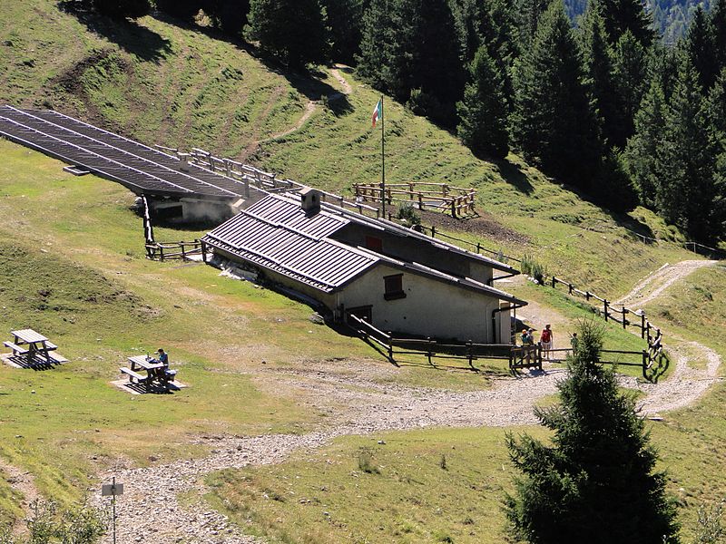
Baita Cassinelli

Gallery (2)
Map
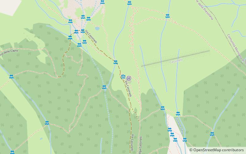
Map
Gallery
Facts and practical information
The Baita Cassinelli refuge is a refuge in the upper Seriana Valley located in the territory of the municipality of Castione della Presolana at an elevation of 1,568 m above sea level.
Coordinates: 45°56'32"N, 10°4'36"E
Day trips