Kolovrat
Map

Map

Facts and practical information
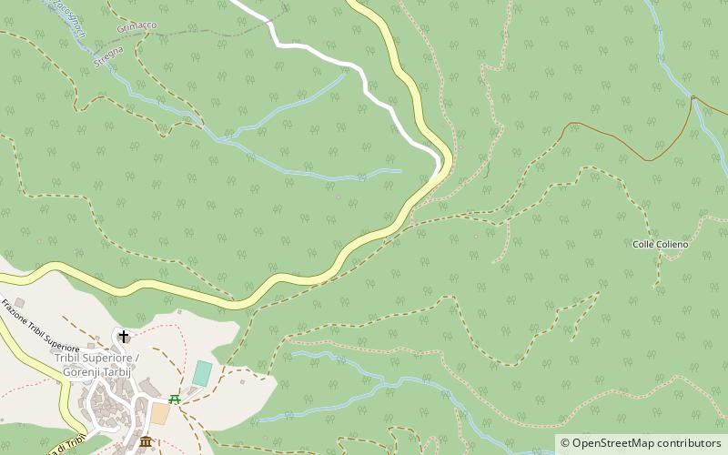
Kolovrat is a mountain ridge of the Julian Prealps on the border between Slovenia and Italy, west of Tolmin and southeast of Kobarid. It is a geographical border between the Soča Valley in Slovenia and the Venetian Slovenia region of Italy. It extends about 7 km at an elevation between 800 and 1150 m. ()
Location
Friuli-Venezia Giulia
ContactAdd
Social media
Add
Day trips
Kolovrat – popular in the area (distance from the attraction)
Nearby attractions include: Matajur, Rifugio Alpino Guglielmo Pelizzo, Santuario Beata Vergine di Castelmonte, Bivacco Giuseppe Zanuso.


