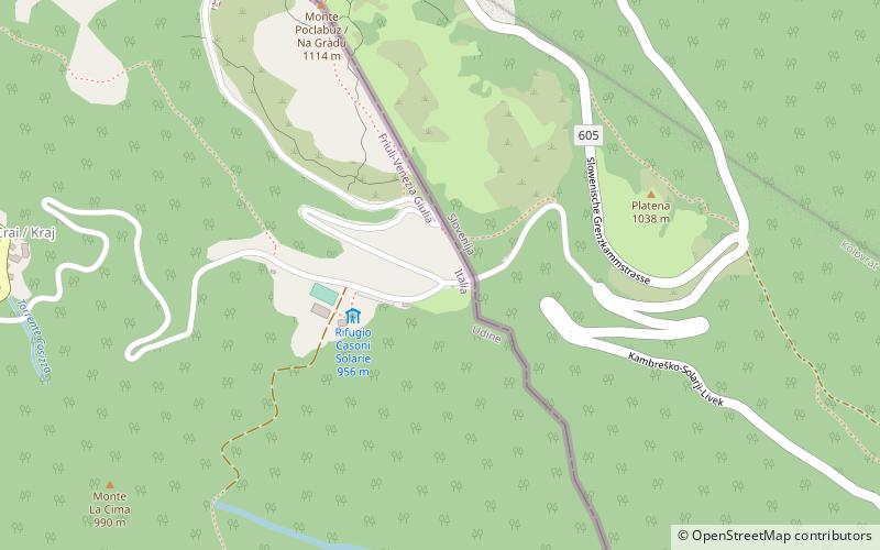
Rifugio Casoni Solarie
Map

Map

Facts and practical information
The Solarie refuge is a refuge located in the province of Udine, on the southern slope of Mount Colovrat, at an elevation of 956 m a.s.l. in the southern part of the Colovrat range, in the immediate vicinity of the Solarie pass, a former second-category border crossing, which connects the Cosizza valley with the Slovenian settlement of Volzana and then with the Isonzo valley.
Coordinates: 46°10'48"N, 13°39'42"E
Location
Friuli-Venezia Giulia
ContactAdd
Social media
Add
Day trips
Rifugio Casoni Solarie – popular in the area (distance from the attraction)
Nearby attractions include: Kolovrat, Bivacco Giuseppe Zanuso, Grimacco, Stregna.


