Monte Venda
Map

Map

Facts and practical information
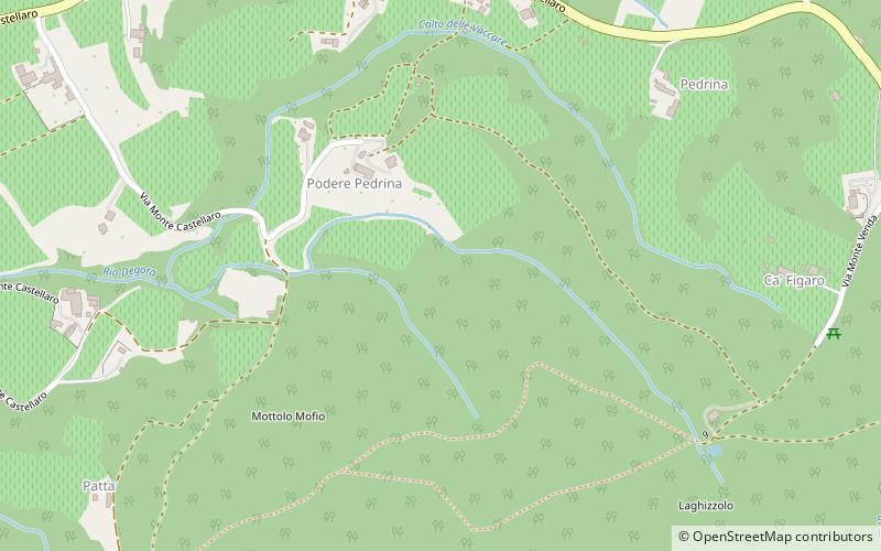
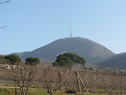
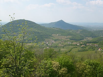
Monte Venda is the highest mountain in the Euganean Hills of Padua Province, Italy. It has an elevation of 603 m. Monte Venda is located in 4 different municipalities, the summit is divided between Galzignano Terme, Vo', Teolo and Cinto Euganeo ()
Location
Veneto
ContactAdd
Social media
Add
Day trips
Monte Venda – popular in the area (distance from the attraction)
Nearby attractions include: Sasso delle Eriche, Praglia Abbey, Euganean Hills, Villa dei Vescovi.


