Monte Cecilia, Baone

Gallery (1)
Map
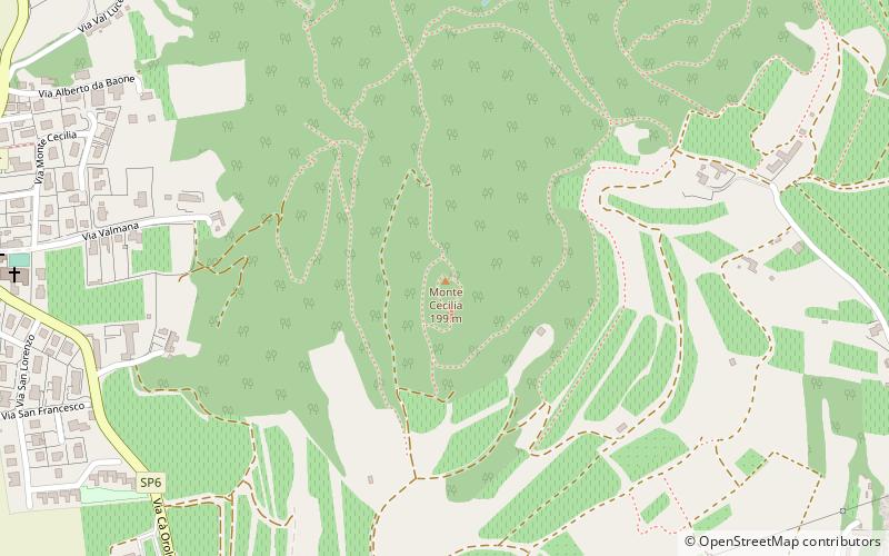
Map
Facts and practical information
Monte Cecilia is a hill of the Veneto, Italy. It has an elevation of 199 metres. ()
Address
Baone
ContactAdd
Social media
Add
Day trips
Monte Cecilia is a hill of the Veneto, Italy. It has an elevation of 199 metres. ()
Baone
Where to next? Visit ![]() Veneto region page or discover the top tourist attractions in Italy.
Veneto region page or discover the top tourist attractions in Italy.