Rifugio Casera Pramosio

Gallery (1)
Map
Map
Facts and practical information
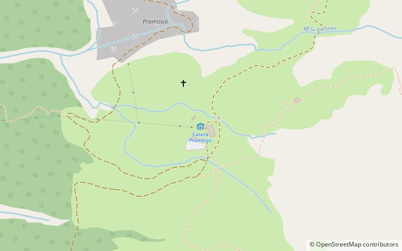
The Casera Pramosio refuge is an alpine refuge located in the territory of the municipality of Paluzza, set in a grassy amphitheater on the slopes of the Creta di Timau, near the state border with Austria.
Coordinates: 46°35'15"N, 13°1'49"E
Location
Friuli-Venezia Giulia
ContactAdd
Social media
Add
Day trips


