Plöcken Pass

Gallery (2)
Map
Map
Gallery
Facts and practical information
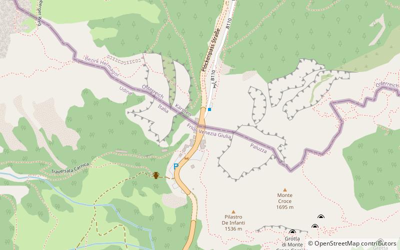
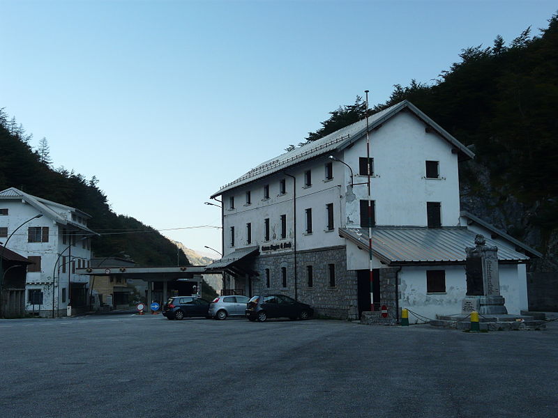
Plöcken Pass is a high mountain pass in the Carnic Alps mountain range at the border between the Austrian state of Carinthia and the Friuli-Venezia Giulia region of Italy. It links the market town of Kötschach-Mauthen in the Carinthian Gail Valley with the Paluzza municipality in the Carnia region of Friuli. ()
Local name: Passo di Monte Croce Carnico Maximum elevation: 4452 ftCoordinates: 46°36'13"N, 12°56'42"E
Location
Friuli-Venezia Giulia
ContactAdd
Social media
Add
Day trips


