Castello di Montfleury, Aosta

Facts and practical information
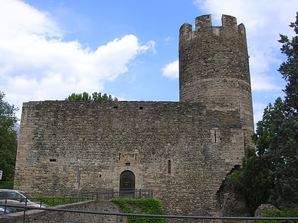
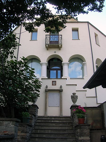
Castello di Montfleury is a place located in Aosta (Aosta Valley autonomous region) and belongs to the category of forts and castles.
It is situated at an altitude of 1890 feet, and its geographical coordinates are 45°43'53"N latitude and 7°17'54"E longitude.
Planning a visit to this place, one can easily and conveniently get there by public transportation. Castello di Montfleury is a short distance from the following public transport stations: Via Piccolo S. Bernardo Mont Fleury (bus, 3 min walk), Aosta Viale Europa (train, 4 min walk).
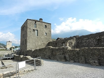
Among other places and attractions worth visiting in the area are: Area Megalitica di Saint-Martin de Corléans (history museum, 7 min walk), Biblioteca Regionale (library, 22 min walk), The Leper's Tower (tower, 22 min walk).
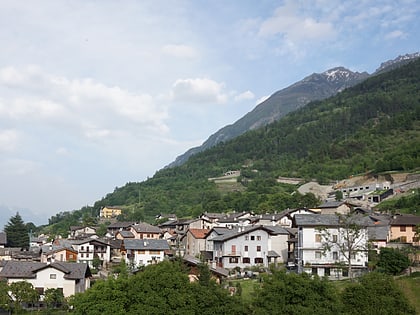
Aosta
Castello di Montfleury – popular in the area (distance from the attraction)
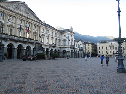
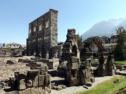
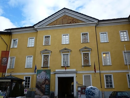
Nearby attractions include: Aosta Cathedral, Piazza Émile Chanoux, Roman Theatre, Museo Archeologico Regionale.
Frequently Asked Questions (FAQ)
Which popular attractions are close to Castello di Montfleury?
How to get to Castello di Montfleury by public transport?
Bus
- Via Piccolo S. Bernardo Mont Fleury • Lines: 2, Nv (3 min walk)
- Cimitero di Aosta • Lines: 2, 531, Nv (7 min walk)
Train
- Aosta Viale Europa (4 min walk)
- Aosta Istituto (11 min walk)


