Rifugio Sass Bece', Canazei

Gallery (1)
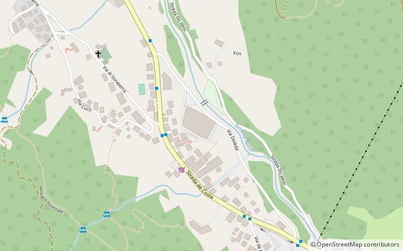
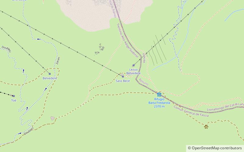
Map
Map
Facts and practical information
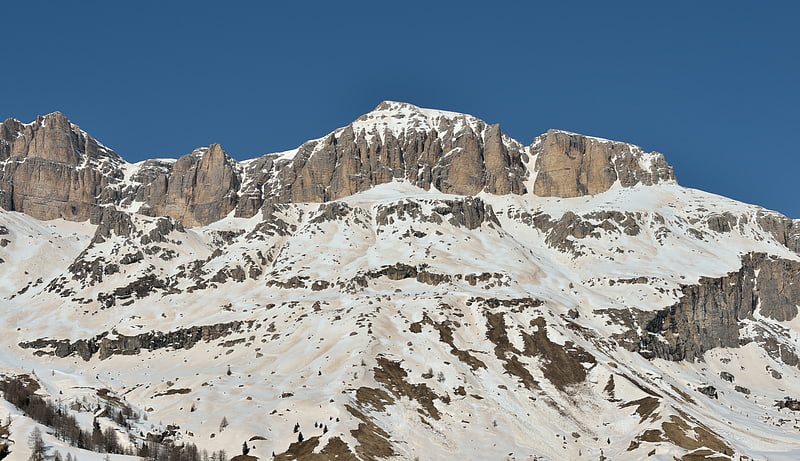
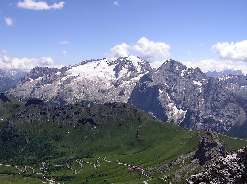
Rifugio Sass Bece' (address: Belvedere del Pordoi) is a place located in Canazei (Trentino-South Tyrol autonomous region) and belongs to the category of hiking, alpine hut.
It is situated at an altitude of 7884 feet, and its geographical coordinates are 46°28'42"N latitude and 11°48'44"E longitude.
Among other places and attractions worth visiting in the area are: Pordoi Pass (nature, 32 min walk), Stadio del ghiaccio Gianmario Scola (ice rink, 45 min walk), Sella group (nature, 46 min walk).
Coordinates: 46°28'42"N, 11°48'44"E
Day trips