Rifugio Kostner al Vallon, Corvara
Map
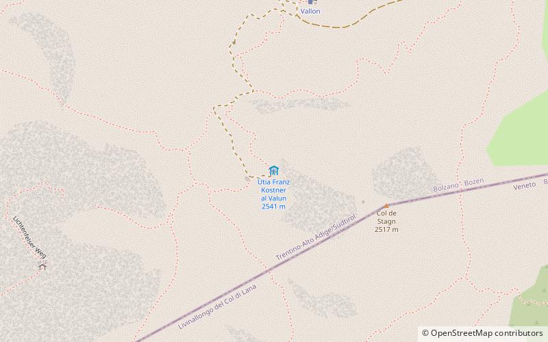
Map

Facts and practical information
Rifugio Kostner al Vallon is a place located in Corvara (Trentino-South Tyrol autonomous region) and belongs to the category of hiking, alpine hut.
It is situated at an altitude of 8284 feet, and its geographical coordinates are 46°31'7"N latitude and 11°50'55"E longitude.
Among other places and attractions worth visiting in the area are: Campolongo Pass (nature, 24 min walk), Mittagstal (nature, 25 min walk), Piz Boè, Canazei (natural attraction, 30 min walk).
Coordinates: 46°31'7"N, 11°50'55"E
Day trips
Rifugio Kostner al Vallon – popular in the area (distance from the attraction)
Nearby attractions include: Sella Ronda, Alta Badia, Piz Boè, Fedaia Lake.


