Cima Trappola

Gallery (2)
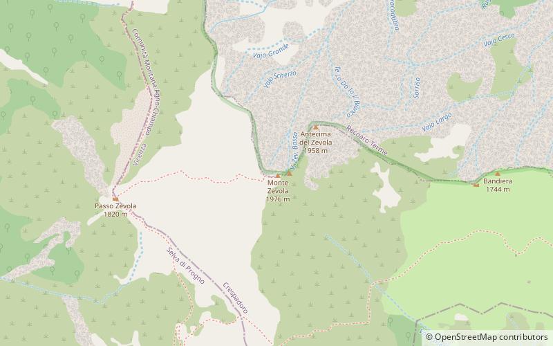
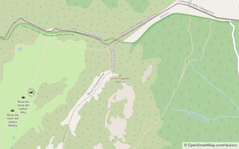
Map
Map
Gallery
Facts and practical information
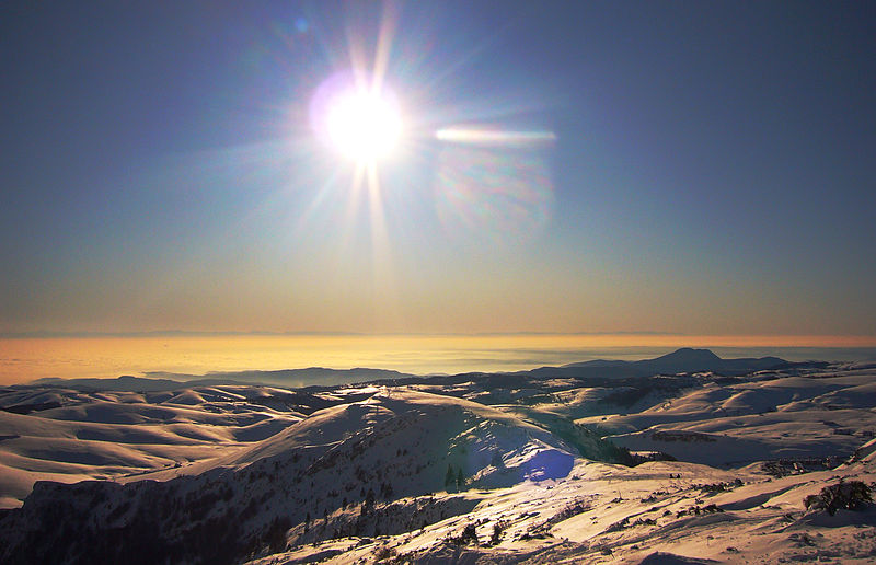
Cima Trappola is the highest elevation of the Lessini Mountains. It is located at the northernmost point of the plateau and, on its summit, runs the border with the province of Trento. Remains of trenches from World War I can be seen along the ridge; there is still a boundary stone on the summit that indicated the limit of Austro-Hungarian territory. It can be reached from the ski resort of San Giorgio, along the Vallon del Malera, then along the south ridge; the alternative is the route up from Rifugio Pertica.
Coordinates: 45°41'36"N, 11°6'34"E
Location
Veneto
ContactAdd
Social media
Add
Day trips