Monte Cornetto
#570 among destinations in Italy


Facts and practical information
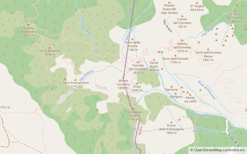
Monte Cornetto is a mountain of the Veneto, Italy. It has an elevation of 1,899 metres. ()
Trentino-South TyrolItaly
Monte Cornetto – popular in the area (distance from the attraction)
Nearby attractions include: Strada delle 52 Gallerie, Rifugio Campogrosso 1456 m, Monte Plische, Giardino Botanico Alpino San Marco.
 Hiking, Hiking trail
Strada delle 52 Gallerie
85 min walk • Strada delle 52 Gallerie, also known as the Road of 52 Tunnels, is a remarkable feat of military engineering and a historical hiking trail nestled in the Pasubio mountains of Northern Italy. Created during World War I, this path was constructed by the Italian Army...
 Hiking, Mountain, Park
Rifugio Campogrosso 1456 m, Recoaro Terme
34 min walk • The Antonio Giuriolo Refuge, commonly referred to as the Campogrosso Refuge, is located at Campogrosso Pass in the heart of the Little Dolomites in the Vicenza Prealps. It is dedicated to Vicenza Resistance hero Antonio Giuriolo.
 Nature, Natural attraction, Mountain
Monte Plische
94 min walk • Monte Plische is a mountain of the Veneto, Italy. It has an elevation of 1,991 metres.
 Botanical garden
Giardino Botanico Alpino San Marco
22 min walk • The Giardino Botanico Alpino San Marco is an alpine nature preserve and botanical garden located at 1040 meters altitude, at Km 44 of SP 46, Pian delle Fugazze, Malga Prà, Valli del Pasubio, Province of Vicenza, Veneto, Italy.
 Nature, Natural attraction, Mountain
Monte Zevola
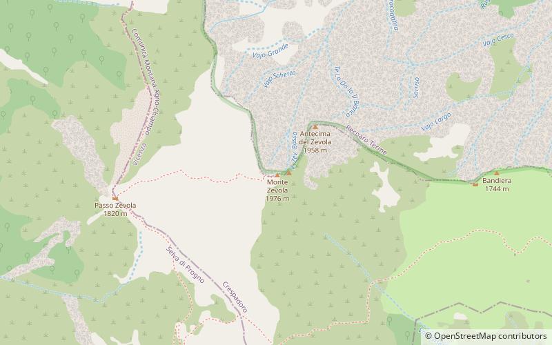
112 min walk • Monte Zevola is a mountain of the Veneto, Italy. It has an elevation of 1,976 metres.
 Nature, Natural attraction, Mountain
Corno Battisti, Vallarsa
131 min walk • Monte Corno Battisti, formerly Monte Corno di Vallarsa, is a peak of the Pasubio massif in the Vicentine Prealps group.
 Town
TownPosina
129 min walk • Posina is a town in the province of Vicenza, Veneto, Italy. It is northeast of SS46. As of 2007 Posina had an estimated population of 657. Posina lies at an elevation of 600 metres at the foot of Mount Majo and Mount Gamonda, Mount Pasubio.
 Nature, Natural attraction, Mountain
Cima Trappola
126 min walk • Cima Trappola is the highest elevation of the Lessini Mountains. It is located at the northernmost point of the plateau and, on its summit, runs the border with the province of Trento.
 Town
TownValli del Pasubio
104 min walk • One of the main attractions in Valli del Pasubio is the Strada delle 52 Gallerie, a historic military road that winds its way through the mountains. Built during World War I, this engineering marvel consists of 52 tunnels carved into the rock, offering visitors a...
 Alpine hut, Hiking, Mountain hut
Rifugio Mario Fraccaroli
70 min walk • The Mario Fraccaroli refuge is located just below Cima Carega in the Little Dolomites, in the municipality of Ala.
 Hiking, Alpine hut
Rifugio Cesare Battisti 1265 m
93 min walk • The Cesare Battisti refuge is a refuge located in Veneto in the municipality of Recoaro Terme, in the heart of the Little Dolomites, 1,265 meters above sea level. It is dedicated to Cesare Battisti, Italian irredentist.
