Monte Emilius
Map
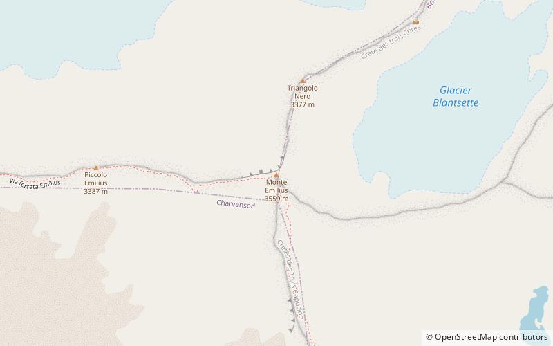
Map

Facts and practical information
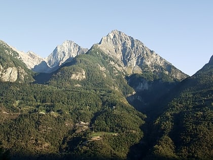
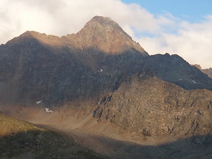
Monte Emilius is a mountain of the Graian Alps in Aosta Valley, north-western Italy. Located just above the town of Aosta, from where it is visible looking southwards behind the lower Becca di Nona, it is usually climbed starting from the ski resort of Pila, at a height of 1,870 m. ()
Alternative names: First ascent: 1826Elevation: 11677 ftProminence: 2411 ftCoordinates: 45°40'44"N, 7°23'6"E
Location
Aosta Valley
ContactAdd
Social media
Add
Day trips
Monte Emilius – popular in the area (distance from the attraction)
Nearby attractions include: Refuge Arbolle, Collegiate church of Saint Ursus, Arch of Augustus, Piazza Émile Chanoux.


