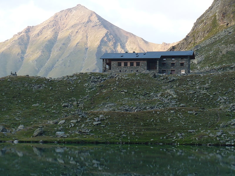
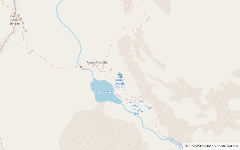
Refuge Arbolle, Aosta
#1 among attractions in Aosta
Facts and practical information
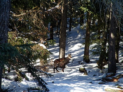
Refuge Arbolle is a refuge in the Alps in Aosta Valley, Italy. ()
Aosta Italy
Aosta plan & book
Unleash the traveler in you — discover the cheapest flight deals, find the perfect hotel or hostel nearby, and search for the best car rental prices. Travel at your own pace to discover new places and enjoy your journey.
Refuge Arbolle – popular in the area (distance from the attraction)
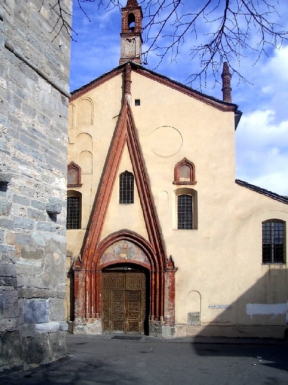
Nearby attractions include: Collegiate church of Saint Ursus, Monte Emilius, Arch of Augustus, Piazza Émile Chanoux.
 Sacred and religious sites, Church
Collegiate church of Saint Ursus, Aosta
129 min walk • The Collegiate church of Saint Ursus is a collegiate church in Aosta, northern Italy, dedicated to Saint Ursus of Aosta. The original church had a single hall, delimited by a semicircular apse.
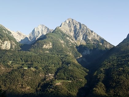
 Nature, Natural attraction, Mountain
Monte Emilius
53 min walk • Monte Emilius is a mountain of the Graian Alps in Aosta Valley, north-western Italy. Located just above the town of Aosta, from where it is visible looking southwards behind the lower Becca di Nona, it is usually climbed starting from the ski resort of Pila, at a height of 1,870 m.
 Historical place, Arch
Arch of Augustus, Aosta
128 min walk • The Arch of Augustus is a monument in the city of Aosta, northern Italy. It was erected in 25 BC on the occasion of the Roman victory over the Salassi and was the work of Aulus Terentius Varro Murena.
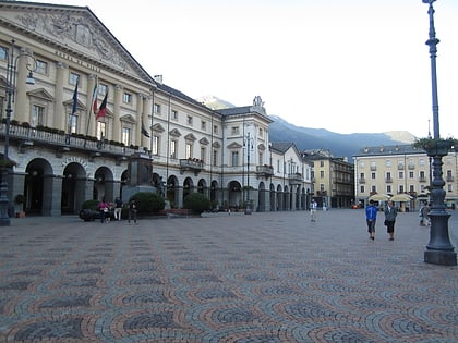 Neighbourhood, Historic walking areas, Square
Piazza Émile Chanoux, Aosta
127 min walk • Piazza Émile Chanoux is a city square in Aosta, Italy.
 Nature, Natural attraction, Mountain
Becca di Nona
43 min walk • Becca di Nona is a peak in the Graian Alps of the Aosta Valley in north-western Italy. Together with Monte Emilius, it is one of the main mountains visible from Aosta looking southwards.
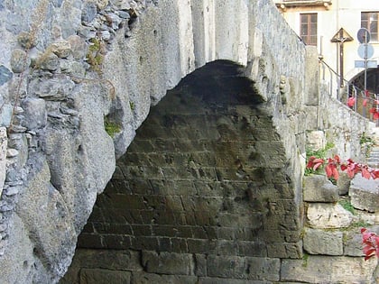 Bridge
Pont de Pierre, Aosta
129 min walk • The Pont de Pierre, meaning "Stone Bridge", is a Roman bridge in the Italian city of Aosta in the Aosta Valley. The bridge crossed the Buthier about 600 m from the eastern exit of the Roman colony Augusta Praetoria; in later times the torrente changed its course, leaving the ancient bridge today without water.
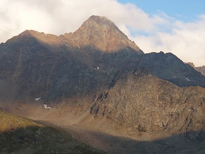 Nature, Natural attraction, Mountain
Punta Garin
45 min walk • Punta Garin or Pic Garin or Pointe Garin is a mountain of the Graian Alps, just south of Monte Emilius in Aosta Valley, Italy. It boasts a pyramidal summit.
 Ruins, Historical place
Roman Theatre, Aosta
129 min walk • The Roman Theatre is an ancient building in Aosta, north-western Italy. It was built in the late reign of Augustus, some decades after the foundation of the city, as testified by the presence of pre-existing structures in the area. There was also an amphitheatre, built during the reign of Claudius, located nearby.
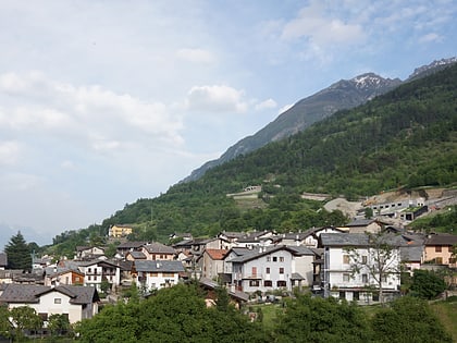 Town, Area
Charvensod, Aosta
99 min walk • Charvensod is a town and comune in the Aosta Valley region of northwestern Italy.
 Nature, Natural attraction, Valley
Cogne Valley
80 min walk • Val di Cogne or Val de Cogne - literally Cogne Valley - is a valley in the Aosta Valley, northern Italy.
 45°44'4"N • 7°18'56"E
Rue Tour du Lepreux / Via Torre del Lebbroso, Aosta
124 min walk • Architecture, Forts and castles