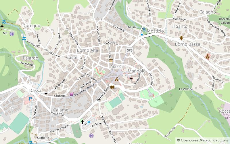
Via San Fermo, Borno

Gallery (1)
Map
Map
Facts and practical information
Via San Fermo (address: Dosso San Fermo) is a place located in Borno (Lombardy region) and belongs to the category of square.
It is situated at an altitude of 2867 feet, and its geographical coordinates are 45°56'50"N latitude and 10°12'21"E longitude.
Among other places and attractions worth visiting in the area are: Club Alpino Italiano - Sezione di Borno (climbing, 2 min walk), Ossimo (town, 29 min walk), Piancogno (locality, 52 min walk).
Coordinates: 45°56'50"N, 10°12'21"E
Address
Dosso San FermoBorno
ContactAdd
Social media
Add
Day trips


