Rifugio Monte Piana - A. Bosi, Dolomites
Map

Map

Facts and practical information
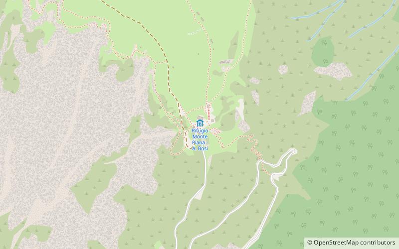
The Angelo Bosi refuge is an alpine refuge located in the Tre Cime Nature Park in the municipality of Auronzo di Cadore in the province of Belluno, located at 2205 m above sea level in the southern part of Monte Piana.
Coordinates: 46°36'39"N, 12°15'4"E
Day trips
Rifugio Monte Piana - A. Bosi – popular in the area (distance from the attraction)
Nearby attractions include: Lago di Misurina, Dürrensee, Tre Cime di Lavaredo, Monte Piana.
Frequently Asked Questions (FAQ)
How to get to Rifugio Monte Piana - A. Bosi by public transport?
The nearest stations to Rifugio Monte Piana - A. Bosi:
Bus
Bus
- Lago d'Antorno • Lines: 1/3/30/31, 30/31, 31Bis, 33/31/30, 9/31 (33 min walk)


