Cima d'Asta
Map

Map

Facts and practical information
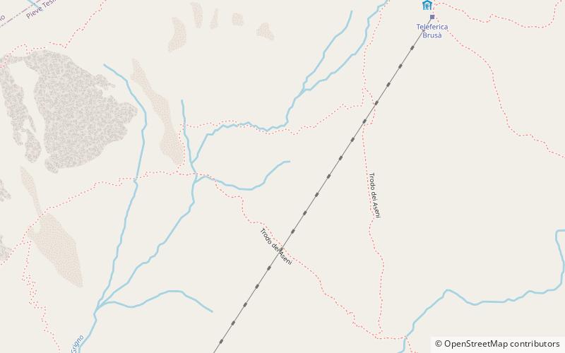
Cima d’Asta at 2,847 metres is the highest mountain of the Fiemme Mountains in the eastern part of the Italian province of Trentino. ()
Alternative names: First ascent: 1816Elevation: 9341 ftProminence: 3081 ftCoordinates: 46°10'0"N, 11°36'0"E
Location
Trentino-South Tyrol
ContactAdd
Social media
Add
Day trips
Cima d'Asta – popular in the area (distance from the attraction)
Nearby attractions include: Lagorai, Brocon Pass, Paion del Cermis, Fiemme Mountains.


