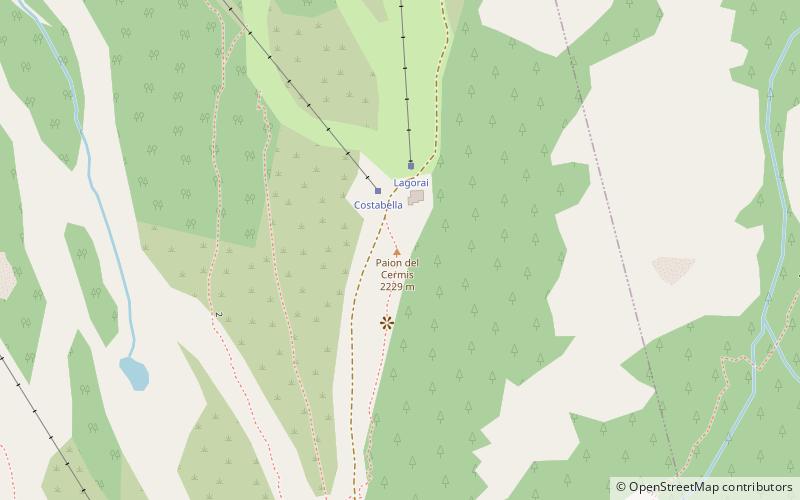
CavaleseIntroductionNearbyPaion del Cermis, Cavalese#2 among attractions in CavaleseSki area, Gear rental, Natural attraction, Outdoor activities, Park, Trail, Mountain hut, MountainMore... Gallery (1)MapMapPhoto details 1. Wikipedia / Public Domain / Diegofiemme / URL Facts and practical informationCermis is a mountain of the Lagorai group in eastern Trentino, Italy in the comune of Cavalese. ()MoreLocal name: Alpe Cermis Elevation: 7280 ft a.s.l.Coordinates: 46°14'29"N, 11°30'13"EAddressPajon del CermisCavalese 38033 ItalyContact +39 0462 340490 WebsiteSocial mediaAddLocal time: 00:00Weather: Public TransportationCavaleseAirportsCavaleseBus stationsCavaleseRailway stations Cavalese plan & bookUnleash the traveler in you — discover the cheapest flight deals, find the perfect hotel or hostel nearby, and search for the best car rental prices. Travel at your own pace to discover new places and enjoy your journey.Hotels nearbyHostels & hotelsCheap flightsCar rentalsCavaleseDay tripsPaion del Cermis – popular in the area (distance from the attraction)Nearby attractions include: Fiemme Valley, Geological Museum of the Dolomites, Cermis, Cima d'Asta.4.2 miNE6.8 miNE1.2 miNW6.9 miSE3 miE4 miNW3.4 miN4.1 miNW5.5 miSW6.9 miSE