Chiesetta di San Sfirio

Gallery (1)
Map
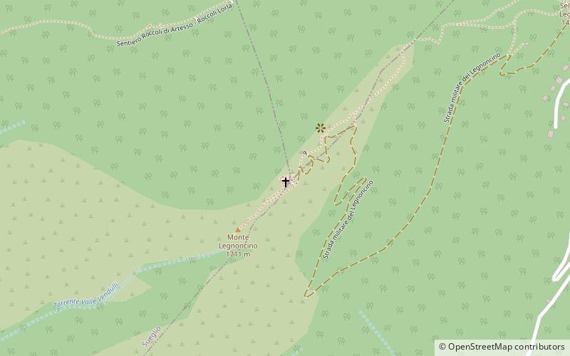
Map
Facts and practical information
Chiesetta di San Sfirio is a place located in Italy and belongs to the category of church.
It is situated at an altitude of 5446 feet, and its geographical coordinates are 46°5'32"N latitude and 9°21'25"E longitude.
Among other places and attractions worth visiting in the area are: Monte LegnoncinoColico (nature, 3 min walk), Piona AbbeyColico (sacred and religious sites, 64 min walk), Monte Legnone (natural attraction, 71 min walk).
Coordinates: 46°5'32"N, 9°21'25"E
Location
Lombardy
ContactAdd
Social media
Add
Day trips