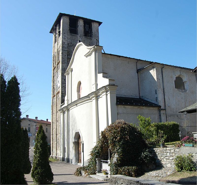
St. Stephen Church, Colico

Gallery (2)
Map
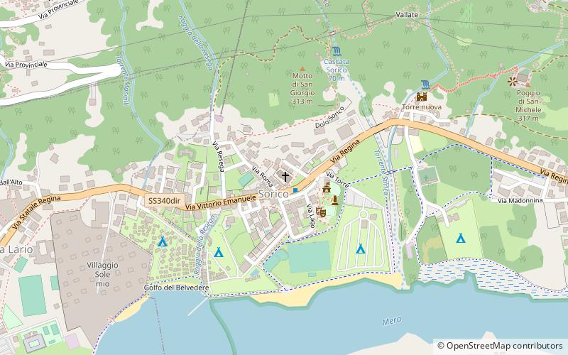
Map
Gallery
Facts and practical information
St. Stephen Church is a place located in Colico (Lombardy region) and belongs to the category of church.
It is situated at an altitude of 709 feet, and its geographical coordinates are 46°10'21"N latitude and 9°22'49"E longitude.
Among other places and attractions worth visiting in the area are: Chiesa di San Miro (church, 10 min walk), Forte Montecchio Nord (museum, 53 min walk), Fort Fuentes (forts and castles, 53 min walk).
Local name: Chiesa di Santo StefanoCoordinates: 46°10'21"N, 9°22'49"E
Address
Colico
ContactAdd
Social media
Add
Day trips


