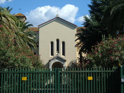
Labaro, Rome
Map
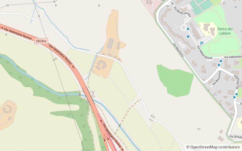
Map

Facts and practical information
Labaro is the 57th zona of Rome, identified by the initials Z. LVII. It is located 11 kilometres north of the city center, along the Via Flaminia, just outside the Grande Raccordo Anulare. ()
Address
Rome
ContactAdd
Social media
Add
Day trips
Labaro – popular in the area (distance from the attraction)
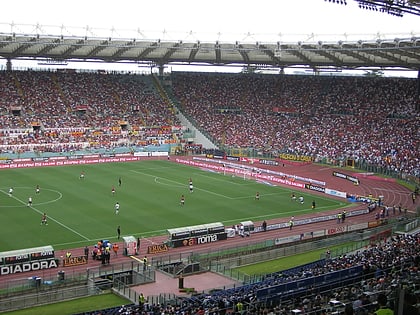
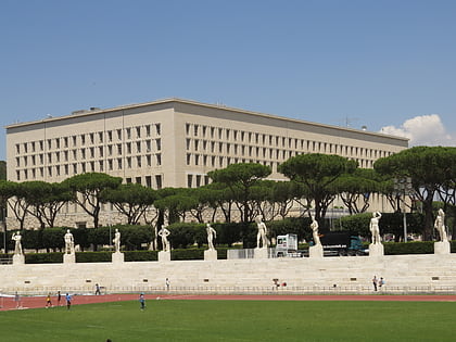
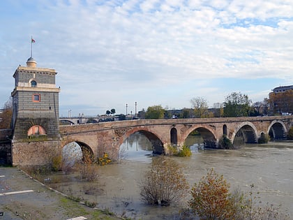
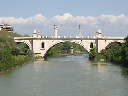
Nearby attractions include: Stadio Olimpico, Stadio dei Marmi, Ponte Milvio, Ponte Flaminio.
Frequently Asked Questions (FAQ)
How to get to Labaro by public transport?
The nearest stations to Labaro:
Bus
Light rail
Bus
- Valbondione • Lines: 039 (8 min walk)
- Bisuschio • Lines: 022, 039 (10 min walk)
Light rail
- La Giustiniana • Lines: Fc3 (29 min walk)

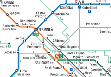 Metro / Tram / Rail