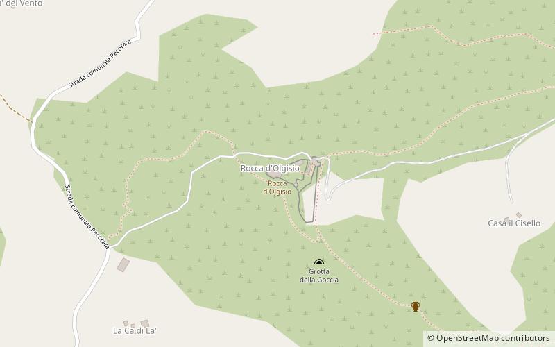
Rocca d'Olgisio
Map

Map

Facts and practical information
Rocca d'Olgisio is a fortified complex located on a steep cliff on the watershed between the Tidone and Chiarone valleys in the Italian municipality of Pianello Val Tidone, in the province of Piacenza.
The castle, part of the Association of the Castles of the Duchy of Parma, Piacenza and Pontremoli, is situated on a steep ridge at an elevation of 564 m above sea level, which, in an Apennine area characterized by peaks of not particularly high elevation, allows a panoramic view of the Po Valley plain and surrounding valleys.
Coordinates: 44°54'51"N, 9°23'34"E
Location
Emilia-Romagna
ContactAdd
Social media
Add
Day trips
Rocca d'Olgisio – popular in the area (distance from the attraction)
Nearby attractions include: Lago di Trebecco, Castello della Boffalora, Pietra Parcellara, Volpara.


