Tarpeian Rock, Rome
Map
Gallery
Facts and practical information
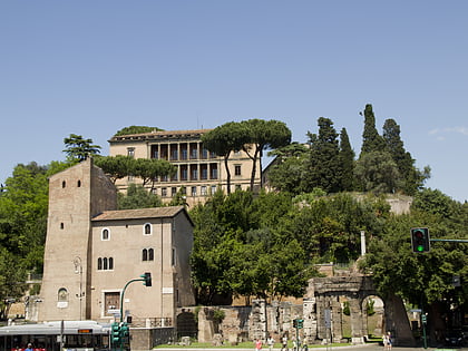
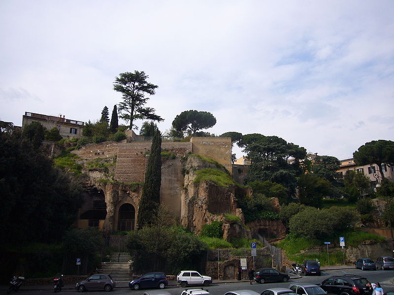
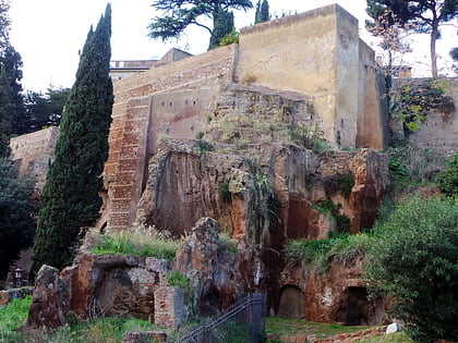
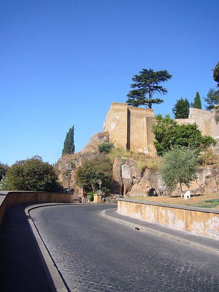
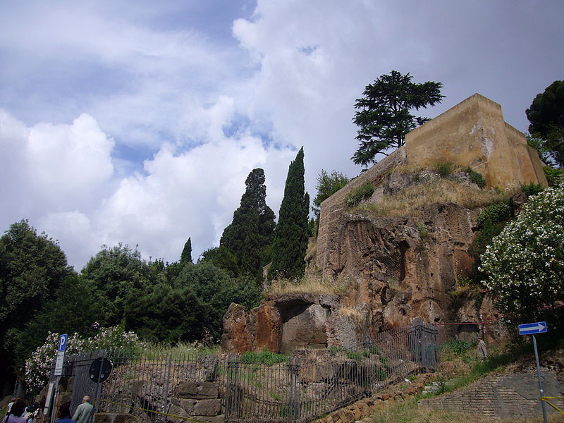
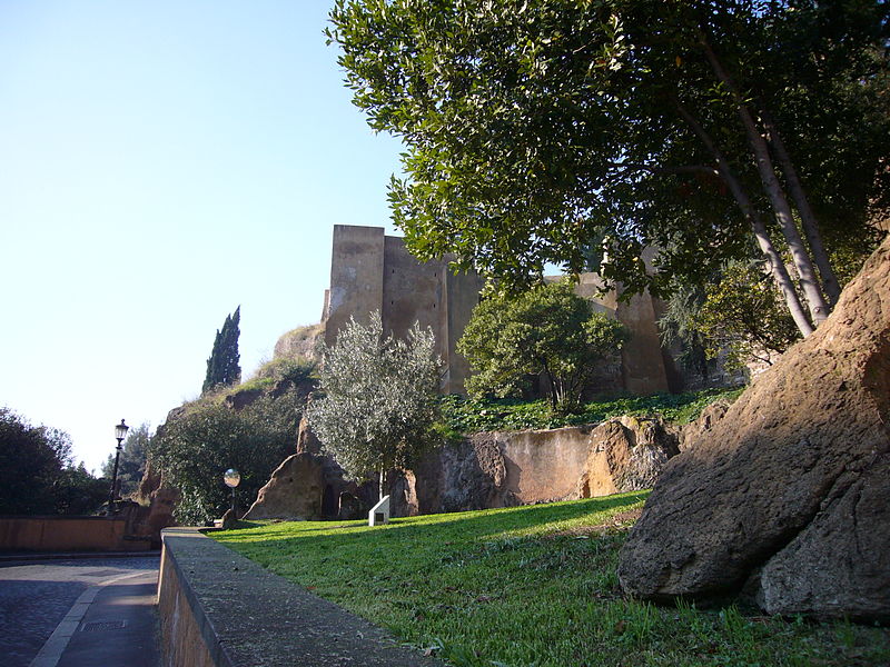
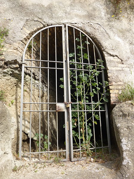
The Tarpeian Rock is a steep cliff on the south side of the Capitoline Hill, which was used in Ancient Rome as a site of execution. Murderers, traitors, perjurors, and larcenous slaves, if convicted by the quaestores parricidii, were flung from the cliff to their deaths. The cliff was about 25 meters high. ()
Day trips
Tarpeian Rock – popular in the area (distance from the attraction)
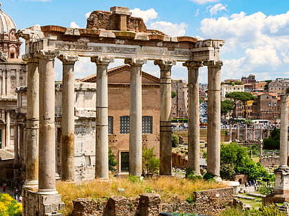
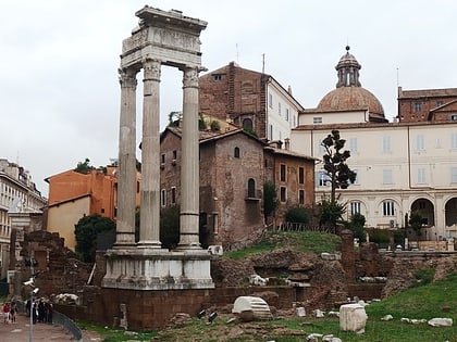
Nearby attractions include: Temple of Vespasian and Titus, Theatre of Marcellus, Arch of Septimius Severus, Capitoline Hill.
Frequently Asked Questions (FAQ)
Which popular attractions are close to Tarpeian Rock?
Nearby attractions include Santa Maria della Consolazione, Rome (2 min walk), Temple of Jupiter Optimus Maximus, Rome (2 min walk), Sant'Omobono, Rome (2 min walk), Capitoline Hill, Rome (2 min walk).
How to get to Tarpeian Rock by public transport?
The nearest stations to Tarpeian Rock:
Bus
Tram
Ferry
Metro
Light rail
Train
Trolleybus
Bus
- Petroselli • Lines: 118, 130F, 160, 170, 30, 44, 44F, 51, 628, 715, 716, 781, 81, 83, 85, 87, C3, n19, n3, n9 (3 min walk)
- Foro Olitorio • Lines: H (4 min walk)
Tram
- Venezia • Lines: 8 (7 min walk)
- Arenula/Min. G. Giustizia • Lines: 8 (10 min walk)
Ferry
- Isola Tiberina • Lines: Battelli di Roma (9 min walk)
- Ponte Cavour (25 min walk)
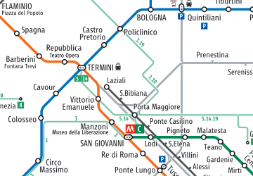
Metro
- Colosseo • Lines: B (13 min walk)
- Cavour • Lines: B (16 min walk)
Light rail
- Roma Porta San Paolo • Lines: Fc2 (29 min walk)
- Roma Termini • Lines: Fl6, Fl7 (31 min walk)
Train
- Roma Termini (31 min walk)
Trolleybus
- XX Settembre/Min. Finanze • Lines: 90 (32 min walk)
- Volturno/Cernaia • Lines: 90 (33 min walk)


 Metro / Tram / Rail


