Monte Rua
Map

Map

Facts and practical information
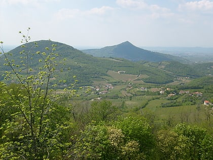
Monte Rua is a mountain in the Euganean Hills of Padua Province, Italy. There is a hermitage located on the mountain's summit. The summit has an elevation of 416 m. Monte Rua is located in 2 different municipalities, the summit is divided between Galzignano Terme and Torreglia ()
Location
Veneto
ContactAdd
Social media
Add
Day trips
Monte Rua – popular in the area (distance from the attraction)
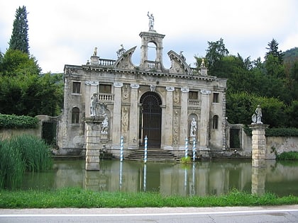
Nearby attractions include: Sasso delle Eriche, Praglia Abbey, Euganean Hills, Villa dei Vescovi.


