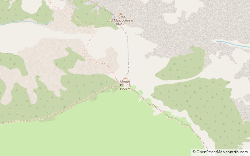
Monte Plauris
#4337 among destinations in Italy
![Monte Plauris location map](https://tzmedia.b-cdn.net/media/images/static-maps/it/46_3592_13_196.jpg)
Facts and practical information
Mount Plauris is the highest mountain in the Julian Prealps, located in the province of Udine, included in the Julian Prealps Nature Park.
Friuli-Venezia GiuliaItaly
Monte Plauris plan & book
Unleash the traveler in you — discover the cheapest flight deals, find the perfect hotel or hostel nearby, and search for the best car rental prices. Travel at your own pace to discover new places and enjoy your journey.
Monte Plauris – popular in the area (distance from the attraction)
Nearby attractions include: Casa delle farfalle, Duomo di Sant'Andrea Apostolo, Parco naturale regionale delle Prealpi Giulie, Monte Amariana.
5.3 miSW 3.3 miSWChurchDuomo di Sant'Andrea Apostolo, Venzone
84 min walk • The church of St. Andrew the Apostle is the cathedral as well as the parish church of Venzone, in the province and archdiocese of Udine; it is part of the Pedemontana forania.
5.5 miEParkParco naturale regionale delle Prealpi Giulie
141 min walk • The Julian Prealps Nature Park is a protected natural area in Friuli-Venezia Giulia that covers about 10,000 hectares in the province of Udine in the Julian Prealps.
6.2 miNWNature, Natural attraction, MountainMonte Amariana
159 min walk • Monte Amariana - a peak in the Karnicki Alps. It lies in northern Italy, in the province of Udine. Once this mountain was considered an expired volcano. At the foot of the mountain lies the town of Tolmezzo.
2.7 miNELocalityResiutta
69 min walk • One of the town's most iconic landmarks is the ancient Ponte del Diavolo (Devil's Bridge), a stone arch bridge dating back to the 15th century. Legend has it that the bridge was constructed with the help of the devil himself, adding a touch of mystique to its already...
5.2 miELocalityResia
133 min walk • One of Resia's most iconic attractions is the Resia Lake, an artificial reservoir that is famous for the submerged bell tower of a 14th-century church. The sight of the lone tower rising from the tranquil waters is truly captivating and has become a symbol of the town.
4.5 miSNature, Natural attraction, MountainCjampon
116 min walk • Mount Chiampon or Cjampon is a mountain in the Julian Pre-Alps, 1,709 m above sea level located in the municipality of Gemona del Friuli, the highest peak of the mountain ridge that closes the Venzonassa valley to the south, extending from the...
6.9 miSWChurchChiesa di San Michele dei Pagani
176 min walk • The church of San Michele dei Pagani in Trasaghis municipality rises above the village of Braulins.
3.1 miNChurchAbbazia di San Gallo
81 min walk • The Abbey of San Gallo is a monastery located on the hill of Santo Spirito, in the locality of Moggio di Sopra, in the municipality of Moggio Udinese, in the province and archdiocese of Udine; it is part of the forania della Montagna.
1.7 miSW 5 miWLocalityAmaro
127 min walk • One of the must-see attractions in Amaro is the medieval castle, which dates back to the 13th century. The castle boasts impressive architecture and offers panoramic views of the surrounding countryside. Visitors can take a guided tour to learn about the castle's...