Church of Sant'Antonio Abate
Map

Map

Facts and practical information
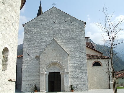
Church of Sant'Antonio Abate is a place located in Italy and belongs to the category of church.
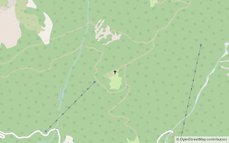
It is situated at an altitude of 2690 feet, and its geographical coordinates are 46°20'20"N latitude and 13°10'39"E longitude.
Among other places and attractions worth visiting in the area are: Monte Plauris (nature, 43 min walk), Duomo di Sant'Andrea ApostoloVenzone (church, 49 min walk), Cjampon (nature, 79 min walk).
Local name: Chiesa di Sant'Antonio AbateCoordinates: 46°20'20"N, 13°10'39"E
Location
Friuli-Venezia Giulia
Contact
+39 0432 985034
Social media
Add
Day trips
Church of Sant'Antonio Abate – popular in the area (distance from the attraction)
Nearby attractions include: Lago di Cavazzo, Ethnographic Museum, Casa delle farfalle, Duomo di Sant'Andrea Apostolo.
Frequently Asked Questions (FAQ)
When is Church of Sant'Antonio Abate open?
Church of Sant'Antonio Abate is open:
- Monday 24h
- Tuesday 24h
- Wednesday 24h
- Thursday 24h
- Friday 24h
- Saturday 24h
- Sunday 24h


