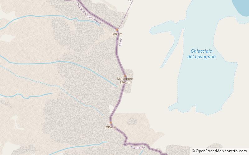
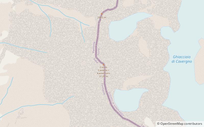
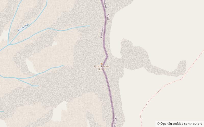
Marchhorn
#825 among destinations in Italy
![Marchhorn location map](https://tzmedia.b-cdn.net/media/images/static-maps/it/46_4484_8_4625.jpg)
Facts and practical information
PiedmontItaly
Marchhorn plan & book
Unleash the traveler in you — discover the cheapest flight deals, find the perfect hotel or hostel nearby, and search for the best car rental prices. Travel at your own pace to discover new places and enjoy your journey.
Marchhorn – popular in the area (distance from the attraction)
Nearby attractions include: Cascata del Toce, Basòdino, Grieshorn, Klein Grieshorn.
3.6 miSWNatural attraction, Waterfall, ParkCascata del Toce
93 min walk • Nestled in the picturesque Italian Alps, the Cascata del Toce is a breathtaking natural wonder that captures the essence of unspoiled beauty. Towering at an impressive height of 143 meters, it is one of the highest waterfalls in Europe and a jewel of the Piedmont...
2.6 miSNature, Natural attraction, MountainBasòdino
66 min walk • The Basòdino is a mountain in the Lepontine Alps on the border between Italy and Switzerland. It is the second highest peak in the canton of Ticino, after the Rheinwaldhorn. On its summit is located a geodetic point of IGM named 05A901 Monte Basodino.
3.3 miWNature, Natural attraction, MountainGrieshorn
85 min walk • The Grieshorn is a mountain of the Lepontine Alps, located on the Swiss-Italian border. With an altitude of 2,969 metres above sea level, it is the culminating point of the group lying between the Gries Pass, the San Giacomo Pass and the Nufenen Pass.
3.6 miWNature, Natural attraction, MountainKlein Grieshorn
92 min walk • The Klein Grieshorn is a mountain of the Lepontine Alps, located on the Swiss-Italian border. The summit is the tripoint between the cantons of Valais, Ticino and the region of Piedmont.
1.8 miSNature, Natural attraction, MountainKastelhorn
46 min walk • The Kastelhorn is a mountain of the Lepontine Alps, located on the border between Switzerland and Italy. It lies north of the Basòdino.
4.9 miSNature, Natural attraction, MountainPizzo Fiorèra
126 min walk • Pizzo Fiorèra is a mountain of the Lepontine Alps on the Swiss-Italian border. It is located south of the Basòdino, on the chain that separates the Italian Val Formazza from the Swiss Val Bavona.
1.9 miSWAlpine hut, Hiking, MountainRifugio Maria Luisa
49 min walk • Maria Luisa Refuge is an alpine refuge located in the upper Formazza Valley in the province of Verbano-Cusio-Ossola, at 2157 m above sea level.
5.8 miSWAlpine hut, HikingRifugio Miryam
149 min walk • The Miryam hut is an alpine hut located in the Vannino valley, a side valley of the upper Formazza valley in the province of Verbano-Cusio-Ossola, at 2,050 m a.s.l. Administratively it belongs to the territory of the municipality of Formazza, from...
6.4 miSWAlpine hut, HikingRifugio Eugenio Margaroli
163 min walk • The Eugenio Margaroli refuge is an alpine refuge located on the shores of Lake Vannino, in the alp of the same name, in the municipality of Formazza, at 2,194 m above sea level.
4.8 miWAlpine hut, HikingRifugio Città di Busto 2482 m
124 min walk • The Città di Busto refuge is an alpine refuge in the upper Formazza Valley, in the province of Verbano-Cusio-Ossola, at 2,480 m above sea level.