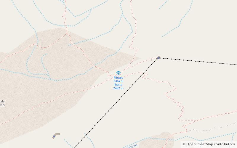
Rifugio Città di Busto 2482 m

Gallery (1)
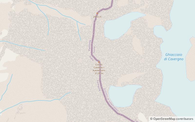
Map
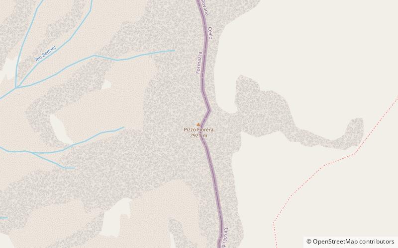
Map
Facts and practical information
The Città di Busto refuge is an alpine refuge in the upper Formazza Valley, in the province of Verbano-Cusio-Ossola, at 2,480 m above sea level.
Coordinates: 46°26'2"N, 8°21'47"E
Day trips