Santo Stefano, Mori
Map

Map

Facts and practical information
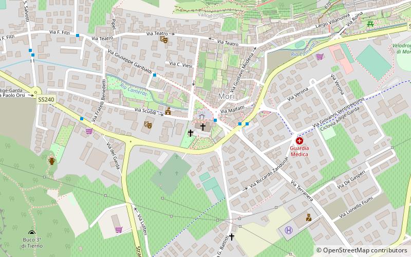
Santo Stefano (address: Via G. Marconi, 3) is a place located in Mori (Trentino-South Tyrol autonomous region) and belongs to the category of church.
It is situated at an altitude of 656 feet, and its geographical coordinates are 45°51'5"N latitude and 10°58'39"E longitude.
Among other places and attractions worth visiting in the area are: Brentonico (locality, 67 min walk), Manifattura Tabacchi, Rovereto (historical place, 79 min walk), Campana dei Caduti, Rovereto (museum, 86 min walk).
Coordinates: 45°51'5"N, 10°58'39"E
Day trips
Santo Stefano – popular in the area (distance from the attraction)
Nearby attractions include: Mart, Arco Castle, Eremo di San Colombano, Monte Stivo.


