Monte Chiadenis

Gallery (1)
Map
Map
Facts and practical information
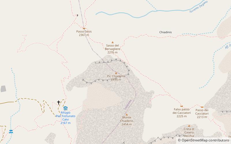
Monte Chiadenis is a peak in the Carnic Alps, northern Italy, located between the comuni of Sappada and Forni Avoltri. It has an altitude of 2,459 m. ()
Location
Friuli-Venezia Giulia
ContactAdd
Social media
Add
Day trips