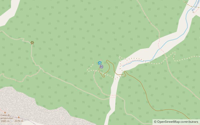
Rifugio Chiampizzulon
#6248 among destinations in Italy


Facts and practical information
Chiampizzulon Refuge is located in the municipality of Rigolato, in the Degano Valley, on the slopes of the Chiampizzulon Creeks and Mt. Pleros.
Rifugio Chiampizzulon – popular in the area (distance from the attraction)
Nearby attractions include: Bordaglia Lake, Coglians, Peralba, Rifugio Pier Fortunato Calvi.
 Nature, Natural attraction, Lake
Bordaglia Lake
128 min walk • Nestled in the heart of the Italian Alps, Bordaglia Lake is a pristine alpine jewel that beckons nature lovers and adventure seekers alike. This tranquil body of water lies at an elevation of approximately 1,950 meters within the Friulian Dolomites, a region renowned...
 Nature, Natural attraction, Mountain
Coglians
146 min walk • Monte Coglians is the highest mountain of the Carnic Alps, on the border between Italy and Austria, west of the Monte Croce Carnico pass.
 Nature, Natural attraction, Mountain
Peralba
167 min walk • Peralba is a mountain of the Carnic Alps in Veneto, northeastern Italy, although its summit is only a few hundred metres from the Austrian border. It has a height of 2,694 m making it the second highest mountain of the Carnics, after Coglians.
 Hiking, Alpine hut
Rifugio Pier Fortunato Calvi, Sappada
154 min walk • The Pier Fortunato Calvi refuge is an alpine refuge located in the municipality of Sappada, in the upper Sesis valley, Carnic Alps, at 2,167 m.
 Hiking, Alpine hut
Rifugio Giovanni e Olindo Marinelli, Paluzza
140 min walk • The Giovanni and Olinto Marinelli refuge is the highest alpine refuge in Friuli-Venezia Giulia, located in the Carnic Alps, at 2,120 m above sea level on the slopes of Mount Coglians, in a panoramic position with respect to Val Grande and Timau...
 Nature, Natural attraction, Mountain
Monte Chiadenis
154 min walk • Monte Chiadenis is a peak in the Carnic Alps, northern Italy, located between the comuni of Sappada and Forni Avoltri. It has an altitude of 2,459 m. During World War I it was the site of fierce fighting between Italian alpini and Austrian Kaiserjäger. In Friulian language cjadenis means "chains".
 Nature, Natural attraction, Mountain
Monte Crostis
138 min walk • Monte Crostis is a mountain in the Carnic Alps, located in the region of Friuli-Venezia Giulia, Italy. The Giro d'Italia intended to pass Monte Crostis in 2011, but after the death of Wouter Weylandt and ongoing protests of the peloton, the jury decided to remove the Crostis from the route.
 Nature, Natural attraction, Natural feature
Carnic and Gailtal Alps
141 min walk • The Carnic and Gailtal Alps is a geographic grouping of mountain ranges belonging to the Southern Limestone Alps. They are located in Austria and Italy.
 Church
Pieve di Santa Maria di Gorto, Ovaro
157 min walk • The parish church of Gorto, dedicated to St. Mary of the Assumption, is a church that stands between the hamlets of Cella and Agrons in the municipality of Ovaro, in the province and archdiocese ...
 Nature, Natural attraction, Mountain
Creta Forata
86 min walk • Creta Forata is a mountain of the Carnic Alps that lies on the border of Veneto and Friuli, northeast Italy, with an elevation of 2,462 m. It is located near the village of Sappada in the Piave Valley. Formed of limestone, it is the highest mountain of the eastern Terza - Siera Group and boasts a twin summit.
 Locality
Forni Avoltri
67 min walk • Forni Avoltri is a comune in the Province of Udine in the Italian region Friuli-Venezia Giulia, located about 130 kilometres northwest of Trieste and about 70 kilometres northwest of Udine, on the border with Austria.
