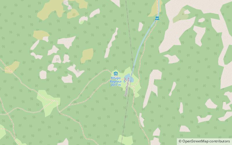
Rifugio Bagnour, Monte Viso
#17 among attractions in Monte Viso


Facts and practical information
The Bagnour Refuge is a refuge located in the municipality of Pontechianale, Varaita Valley, in the Cottian Alps, at 2017 m above sea level.
Rifugio Bagnour – popular in the area (distance from the attraction)
Nearby attractions include: Colle di Sampeyre, Varaita Valley, Cottian Alps, Pelvo d'Elva.
 Nature, Natural attraction, Mountain pass
Colle di Sampeyre
123 min walk • Colle di Sampeyre is a mountain pass in the province of Cuneo in the Cottian Alps. It connects the Varaita valley and the Maira valley. The Colle di Sampeyre can be climbed from Stroppo, Sampeyre and Elva. It has been featured in the Giro d'Italia twice, in 1995 and 2003.
 Nature, Natural attraction, Valley
Varaita Valley
66 min walk • Varaita Valley is a valley in south-west of Piedmont, in the Province of Cuneo - Italy.
 Natural attraction, Natural feature
Cottian Alps, Monte Viso
59 min walk • The Cottian Alps are a mountain range in the southwestern part of the Alps. They form the border between France and Italy. The Fréjus Road Tunnel and Fréjus Rail Tunnel between Modane and Susa are important transportation arteries between France and Italy.
 Nature, Natural attraction, Mountain
Pelvo d'Elva
163 min walk • Pelvo d'Elva is a mountain in the Cottian Alps, in eastern Piedmont, northern Italy. It has an elevation of 3,064 metres. Dividing the Varaita and Maira Valleys, it is located across the communal territory of Elva and Bellino.
 Natural attraction, Mountain
Viso di Vallanta, Monte Viso
91 min walk • Viso di Vallanta or Dado di Viso, as well as Dado di Vallanta - a peak in the Kotyan Alps, parts of Western Alps. It lies in the northwestern Italy in the Piedmont region, close to the border with France. The peak can be conquered along the roads from the shelters: Bivacco Berardo, Bivacco Boarelli, Rifugio Alevè and above all from Rifugio Vallanta.
 Natural attraction, Mountain
Punta Tre Chiosis, Monte Viso
92 min walk • Punta Tre Chiosis is a mountain in the Cottian Alps, rising in the municipality of Pontechianale in the upper Varaita Valley.
 Natural attraction, Mountain
Cadreghe di Viso, Monte Viso
109 min walk • The Cadreghe di Viso are a group of five rocky spires located between Monviso and Visolotto. They are located in the province of Cuneo between the Po Valley and the Varaita Valley.
 Natural attraction, Mountain
Punta Trento, Monte Viso
71 min walk • The Trento tip is a mountain of the Cozie Alps chain, 2970 m high.
 Natural attraction, Mountain
Viso Mozzo, Monte Viso
116 min walk • The Viso Mozzo is a 3,019 metres high mountain on the Italian side of the Cottian Alps.
 Natural attraction, Mountain
Punta Roma, Monte Viso
134 min walk • Punta Roma - a peak in the Kotyan Alps, parts of the Western Alps. It lies on the border between Italy and France. The peak can be conquered by roads from the Rifugio Vitale Giacoletti hostel. He is adjacent to Punta Udine and Punta Gastaldi. The first entry was made by Ubald Valbus and Claudio Perotti on August 29, 1905.
 Natural attraction, Mountain
Punta Malta, Monte Viso
54 min walk • The Malta tip is a mountain of the Cozie Alps chain, 2995 m high.
