Varaita Valley
#1125 among destinations in Italy


Facts and practical information
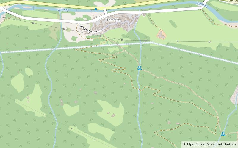
Varaita Valley is a valley in south-west of Piedmont, in the Province of Cuneo - Italy. ()
PiedmontItaly
Varaita Valley – popular in the area (distance from the attraction)
Nearby attractions include: Colle di Sampeyre, Cottian Alps, Maira Valley, Pelvo d'Elva.
 Nature, Natural attraction, Mountain pass
Colle di Sampeyre
57 min walk • Colle di Sampeyre is a mountain pass in the province of Cuneo in the Cottian Alps. It connects the Varaita valley and the Maira valley. The Colle di Sampeyre can be climbed from Stroppo, Sampeyre and Elva. It has been featured in the Giro d'Italia twice, in 1995 and 2003.
 Natural attraction, Natural feature
Cottian Alps, Monte Viso
116 min walk • The Cottian Alps are a mountain range in the southwestern part of the Alps. They form the border between France and Italy. The Fréjus Road Tunnel and Fréjus Rail Tunnel between Modane and Susa are important transportation arteries between France and Italy.
 Nature, Natural attraction, Valley
Maira Valley
146 min walk • Maira Valley is a valley in south-west of Piedmont in the Province of Cuneo, Italy.
 Nature, Natural attraction, Mountain
Pelvo d'Elva
147 min walk • Pelvo d'Elva is a mountain in the Cottian Alps, in eastern Piedmont, northern Italy. It has an elevation of 3,064 metres. Dividing the Varaita and Maira Valleys, it is located across the communal territory of Elva and Bellino.
 Natural attraction, Mountain
Punta Trento, Monte Viso
115 min walk • The Trento tip is a mountain of the Cozie Alps chain, 2970 m high.
 Natural attraction, Mountain
Punta Malta, Monte Viso
100 min walk • The Malta tip is a mountain of the Cozie Alps chain, 2995 m high.
 Natural attraction, Mountain
Cima delle Lobbie, Monte Viso
87 min walk • Cima delle Lobbie is a 3,015 m high mountain in the Cottian Alps. It is located on the ridge between the Varaita and Po valleys. It is the southernmost three-thousand-meter peak in the Monviso group.
 Hiking, Alpine hut
Bivacco Bertoglio, Monte Viso
103 min walk • The Pietro Bertoglio bivouac is a bivouac located in the municipality of Pontechianale, Varaita Valley, in the Cottian Alps, at 2760 m above sea level.
 Hiking, Alpine hut
Rifugio Bagnour, Monte Viso
66 min walk • The Bagnour Refuge is a refuge located in the municipality of Pontechianale, Varaita Valley, in the Cottian Alps, at 2017 m above sea level.
 Hiking, Alpine hut
Rifugio Alpetto, Monte Viso
143 min walk • The Alpetto refuge is a refuge in the municipality of Oncino, in the Po Valley. Opened in 1998, it has 24 beds.
 Alpine hut, Hiking
Rifugio Savigliano
126 min walk • The Savigliano refuge is a hiking refuge in the hamlet of Genzana in the municipality of Pontechianale in the Varaita valley. It has 50 beds.
