Pietralata, Rome
Map
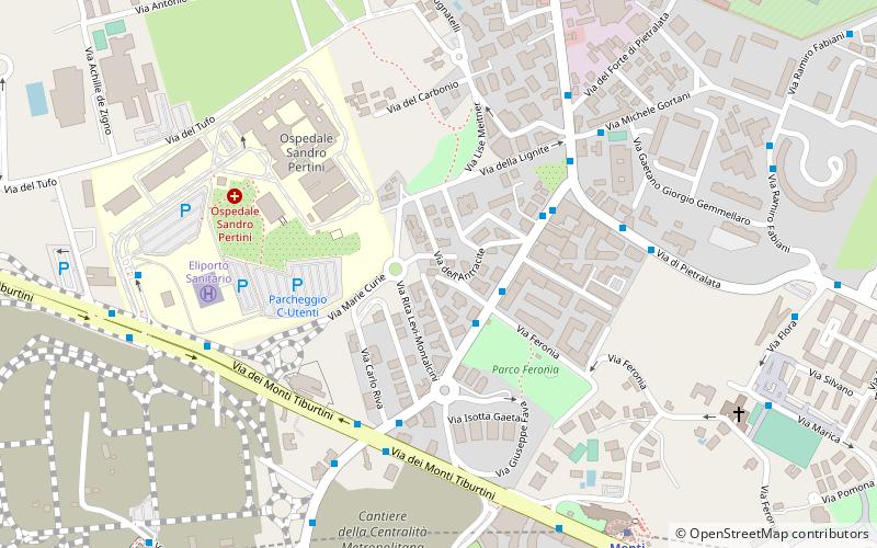
Map

Facts and practical information
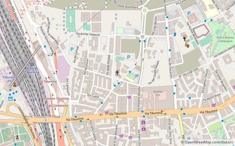
Pietralata is the 21st quartiere of Rome, identified by the initials Q. XXI, and belongs to the Municipio IV. Its name comes from the Latin Prata Lata meaning large fields, which is possibly a reference to the large amount of nature and vegetation present. ()
Address
PietralataRome
ContactAdd
Social media
Add
Day trips
Pietralata – popular in the area (distance from the attraction)
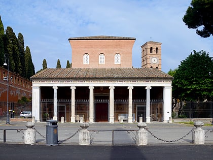
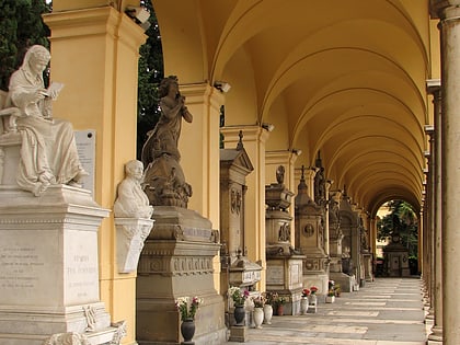
Nearby attractions include: San Lorenzo fuori le mura, San Romano Martire, Ponte Nomentano, Campo Verano.
Frequently Asked Questions (FAQ)
Which popular attractions are close to Pietralata?
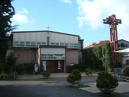
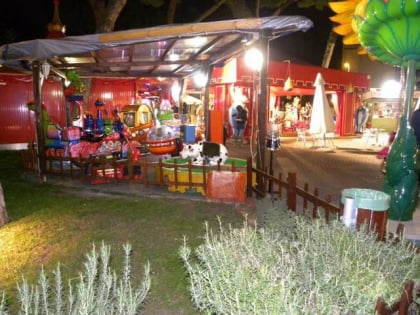
Nearby attractions include Pavolandia, Rome (12 min walk), Sant'Atanasio a Via Tiburtina, Rome (13 min walk), San Romano Martire, Nomentano (18 min walk).
How to get to Pietralata by public transport?
The nearest stations to Pietralata:
Bus
Metro
Train
Trolleybus
Bus
- Durantini/Feronia • Lines: 111, 111F, 441, 450 (2 min walk)
- Monti Tiburtini/Durantini • Lines: 450, 542, 544, 548, 61 (5 min walk)
Metro
- Monti Tiburtini • Lines: B (9 min walk)
- Quintiliani • Lines: B (11 min walk)
Train
- Roma Tiburtina (22 min walk)
- Roma Nomentana (37 min walk)
Trolleybus
- Batteria Nomentana • Lines: 90 (30 min walk)
- Nomentana/Val d'Aosta • Lines: 90 (31 min walk)

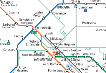 Metro / Tram / Rail