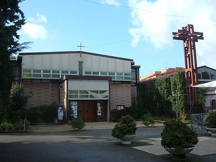
Collatino, Rome
Map
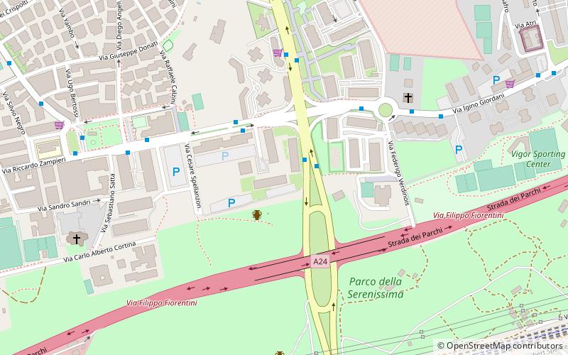
Map

Facts and practical information
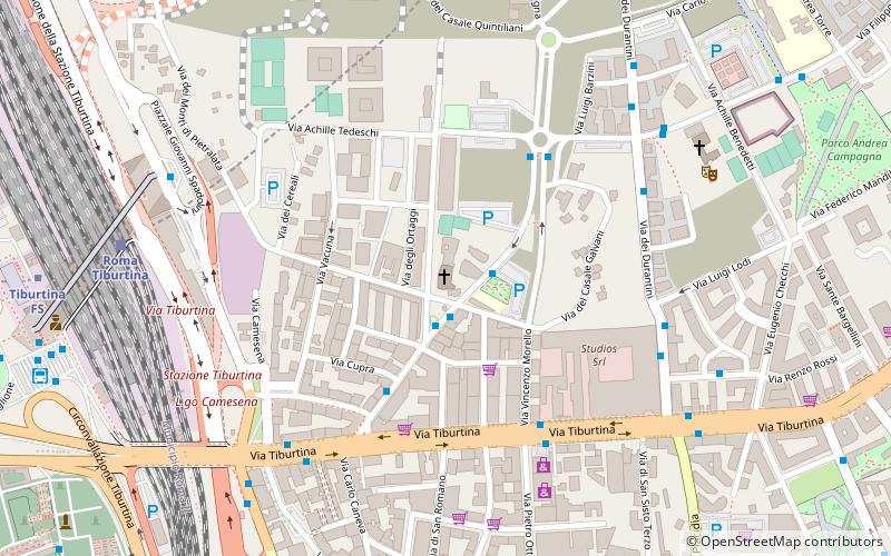
Collatino is the 22nd quartiere of Rome, identified by the initials Q. XXII. It belongs to the Municipio IV and V. The name is derived from the Via Collatina. It has 66,829 inhabitants and has an area of 6.1646 km2. ()
Address
CollatinoRome
ContactAdd
Social media
Add
Day trips
Collatino – popular in the area (distance from the attraction)
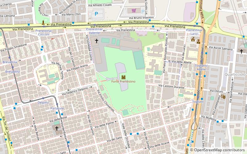
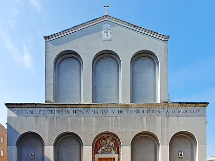
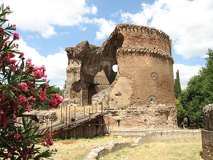
Nearby attractions include: Villa Gordiani, San Romano Martire, CSOA Forte Prenestino, Chiesa di Santa Maria Consolatrice.
Frequently Asked Questions (FAQ)
Which popular attractions are close to Collatino?
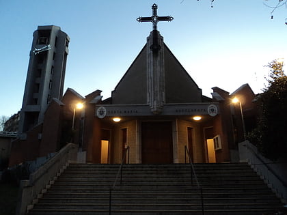
Nearby attractions include Chiesa di Santa Maria Addolorata, Rome (16 min walk), Villa Gordiani, Rome (19 min walk), Pavolandia, Rome (22 min walk), Sant'Atanasio a Via Tiburtina, Rome (22 min walk).
How to get to Collatino by public transport?
The nearest stations to Collatino:
Bus
Train
Tram
Metro
Bus
- Andriulli/Bergamini • Lines: 542, 544, 548, C5 (2 min walk)
- Bergamini A./Borsa • Lines: 309, 319, 544, 61, n23 (3 min walk)
Train
- Serenissima (9 min walk)
- Roma Prenestina (19 min walk)
Tram
- Prenestina/Tor de' Schiavi • Lines: 14, 19, 5 (18 min walk)
- Prenestina/Cocconi • Lines: 14 (20 min walk)
Metro
- Pietralata • Lines: B (18 min walk)
- Santa Maria del Soccorso • Lines: B (20 min walk)
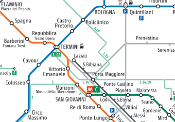 Metro / Tram / Rail
