Rifugio Pordenone, Dolomites

Gallery (1)
Map
Map
Facts and practical information
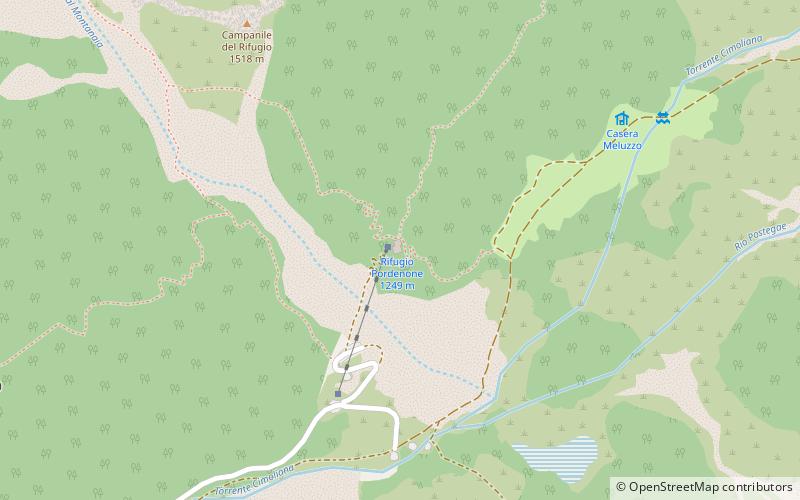
The Pordenone refuge stands at 1,249 m at the confluence of the Montanaia and Meluzzo valleys on the wooded promontory on the slopes of Meluzzo peak in the Spalti di Toro-Monfalconi group.
Day trips


