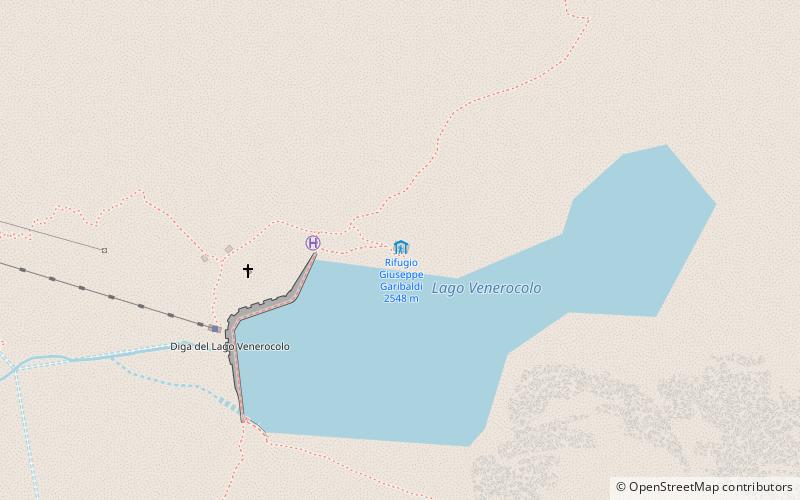
Rifugio Giuseppe Garibaldi

Gallery (1)
Map
Map
Facts and practical information
In Italy there are several mountain huts named after Giuseppe Garibaldi: Rifugio Giuseppe Garibaldi - located in Val Camonica, Rifugio Giuseppe Garibaldi - located in Gran Sasso
Day trips


