Val Veny

Gallery (2)
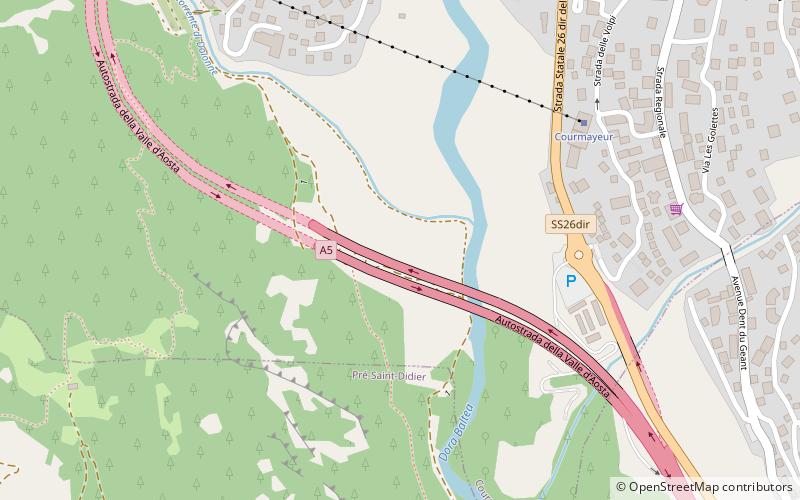
Map
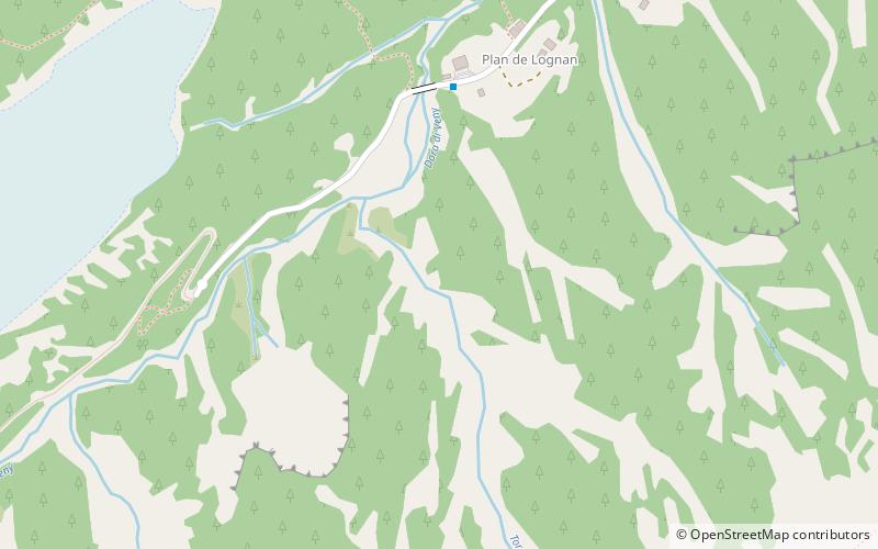
Map
Gallery
Facts and practical information
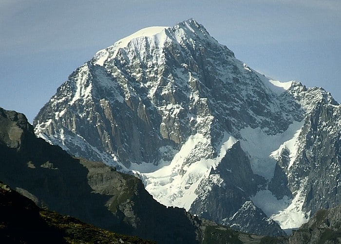
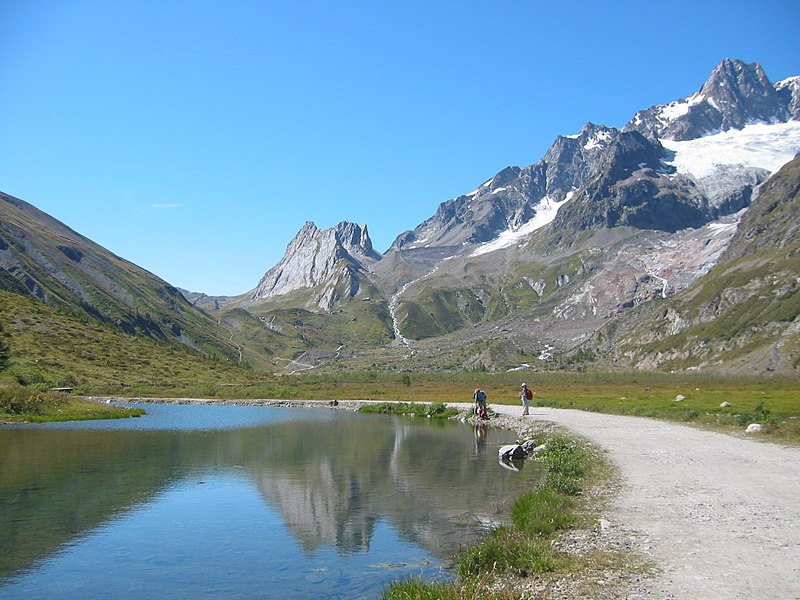
Val Veny is a lateral valley of the Mont Blanc massif, lying to the south-west of Courmayeur. The valley head is at the Seigne Pass. ()
Location
Aosta Valley
ContactAdd
Social media
Add
Day trips