Monte Politri
#1247 among destinations in Italy
![Monte Politri location map](https://tzmedia.b-cdn.net/media/images/static-maps/it/44_9914_7_01884.jpg)
Facts and practical information
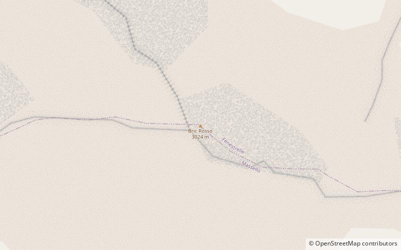
Monte Politri or Bric Rosso is a 3,026 m a.s.l. mountain of the Cottian Alps, located in Italy. ()
PiedmontItaly
Monte Politri plan & book
Unleash the traveler in you — discover the cheapest flight deals, find the perfect hotel or hostel nearby, and search for the best car rental prices. Travel at your own pace to discover new places and enjoy your journey.
Monte Politri – popular in the area (distance from the attraction)
Nearby attractions include: Fenestrelle Fort, Monte Orsiera, Monte Albergian, Rifugio Selleries.
3.4 miNECity wall, Historical place, History museumFenestrelle Fort
86 min walk • Nestled in the Italian Alps, Fenestrelle Fort is a monumental example of military architecture and one of the largest fortifications in Europe. Spanning over 1,300 meters in elevation, this colossal structure was built between 1728 and 1850 to defend the Kingdom of...
6.6 miNENature, Natural attraction, MountainMonte Orsiera
169 min walk • Monte Orsiera is a mountain in the Cottian Alps belonging to the Province of Turin.
1.7 miNWNature, Natural attraction, MountainMonte Albergian
44 min walk • Monte Albergian is a 3,041 m a.s.l. mountain of the Cottian Alps, located in Italy. A battalion of 3rd Alpini Regiment, which during World War I earned a Silver Medal of Military Valor, was named after Monte Albergian.
6.3 miNEAlpine hut, Hiking, Mountain hutRifugio Selleries
161 min walk • The Selleries refuge is a refuge located in the municipality of Roure, Val Chisone, in the Cottian Alps, at 2,035 m above sea level.
3.1 miSWNature, Natural attraction, MountainBric Ghinivert
79 min walk • Bric Ghinivert or Eiminàl is a mountain of the Cottian Alps located in Italy.
5.8 miSWNature, Natural attraction, MountainRognosa di Sestriere
149 min walk • Rognosa di Sestriere is a mountain of the Cottian Alps in Piedmont, Italy.
3.3 miNENature, Natural attraction, ValleyVal Chisone
83 min walk • The Val Chisone is one of the Occitan valleys of western Piedmont, situated in the Cottian Alps in the Metropolitan City of Turin in north-west Italy.
4.6 miSWParkParco naturale Val Troncea
118 min walk • The nature park Parco naturale Val Troncea is located in Val Chisone, municipality of Pragelato in the Metropolitan City of Turin. The park was created in 1980 to preserve the natural environment.
6.3 miSENature, Natural attraction, ValleyValle Germanasca
161 min walk • The Valle Germanasca is a valley in the Metropolitan City of Turin, Piedmont, north-western Italy run by the Germanasca stream, a right affluent of the Chisone.
4.1 miWLocalityPragelato
105 min walk • Pragelato is a comune in the Metropolitan City of Turin in the Italian region Piedmont, located about 60 kilometres west of Turin, in the upper Val Chisone.
4.2 miSWAlpine hut, HikingRifugio Troncea
107 min walk • The Troncea refuge is a refuge located in the municipality of Pragelato, in the Troncea valley in the Cottian Alps, at 1,915 m above sea level.