Barracks of the Vigiles, Rome
Map
Gallery
Facts and practical information
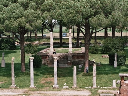
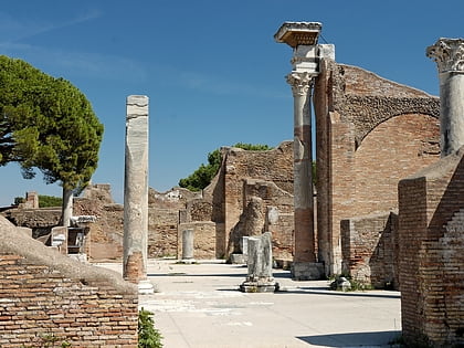
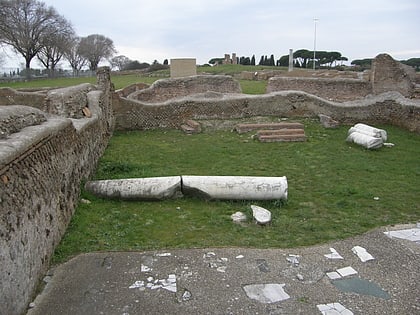
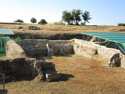
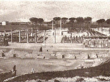
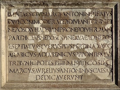
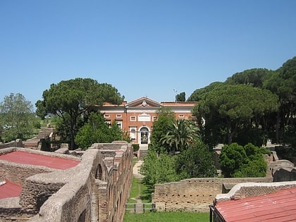
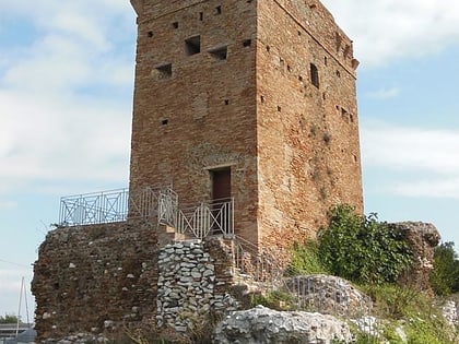
The fire station is a building in the Roman city of Ostia used as the headquarters of a detachment of firefighters who were in charge of extinguishing fires.
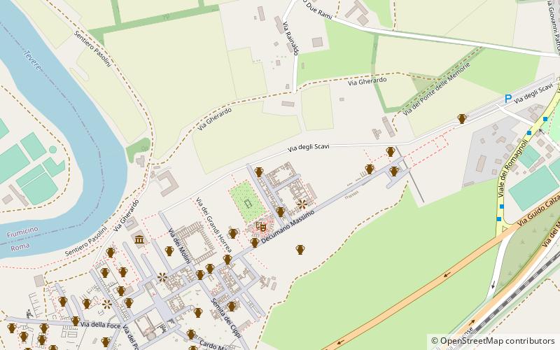
The building was constructed in the Hadrianic period in the city area between the decumanus maximus and the Tiber, east of the city center.
Coordinates: 41°45'25"N, 12°17'31"E
Day trips
Barracks of the Vigiles – popular in the area (distance from the attraction)
Nearby attractions include: Ostia Antica, Santa Aurea, Ostia Antica, Baths at Ostia.
Frequently Asked Questions (FAQ)
Which popular attractions are close to Barracks of the Vigiles?
Nearby attractions include Piazzale delle Corporazioni, Rome (2 min walk), Theatre, Rome (3 min walk), Museo Archeologico Ostiense, Rome (7 min walk), Baths at Ostia, Ostia (7 min walk).
How to get to Barracks of the Vigiles by public transport?
The nearest stations to Barracks of the Vigiles:
Bus
Light rail
Bus
- Romagnoli/Calza • Lines: 04, C13, C19, C4 (10 min walk)
- Romagnoli/Scavi Ostia Antica • Lines: 011, 018, 04, C13, C19, C4, n3 (11 min walk)
Light rail
- Ostia Antica • Lines: Fc2 (14 min walk)
- Lido Nord • Lines: Fc2 (31 min walk)

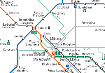 Metro / Tram / Rail
